Az Zarqā night lights from space
Night Light of Az Zarqā (Damietta) from space (Egypt) Src. Average luminocity for 10x10km area is 67.9066% and for 50x50km: 60.1149%.
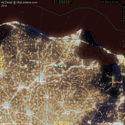
Analysis of Az Zarqā night lights 2016
Square area 10x10 km:
 8.79%
8.79%90-99
10.07%80-89
16.67%70-79
11.17%60-69
7.88%50-59
20.88%40-49
21.25%30-39
3.3%20-29
0%10-19
0%0-9
0%Square area 50x50 km:
5.63%90-99
8.02%80-89
12.17%70-79
8.87%60-69
11.14%50-59
17.23%40-49
20.99%30-39
8.31%20-29
3.23%10-19
1.99%0-9
2.43%Clear (daylight) street map image can be seen on geolist.org.
Map coordinates:
31° 48' 29.1" North, 30° 55' 55.8" East
31° 12' 31.1" North, 31° 38' 7" East
30° 36' 19.3" North, 32° 20' 18.3" East
Some cities around Az Zarqā sort by population:
• Dikirnis
13.9 km =8.6 mi,  196°
196°
• Bilqās
26.4 km =16.4 mi,  271°
271°
• Damietta
28.6 km =17.8 mi,  36°
36°
• Al Jammālīyah
22.1 km =13.7 mi,  98°
98°
• Al Manzalah
29.1 km =18.1 mi, 101°
• Fāraskūr
15.5 km =9.6 mi,  29°
29°
• Minyat an Naşr
9.2 km =5.7 mi,  175°
175°
• Shirbīn
10.6 km =6.6 mi,  262°
262°
419435 (p: 40,010)
Sources (retrieved 2019-11-25):
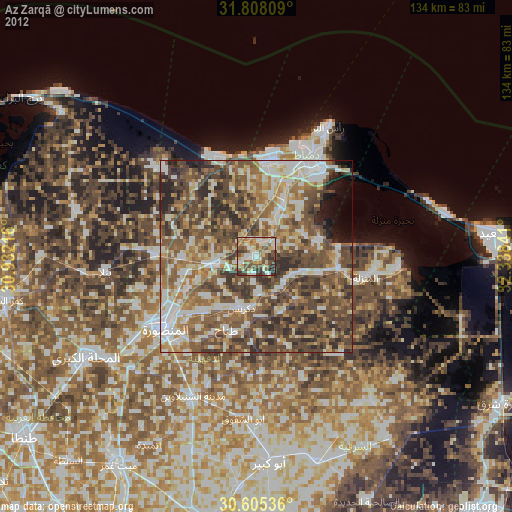
» Earth at Night: Flat Maps 2012, 2016