Al Maţarīyah night lights from space
Night Light of Al Maţarīyah (Dakahlia) from space (Egypt) Src. Average luminocity for 10x10km area is 50.1676% and for 50x50km: 26.0901%.
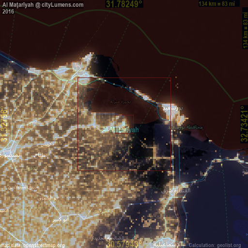
Analysis of Al Maţarīyah night lights 2016
Square area 10x10 km:
 6.29%
6.29%90-99
7.43%80-89
8.38%70-79
7.81%60-69
6.1%50-59
13.9%40-49
12.95%30-39
8.76%20-29
2.67%10-19
19.24%0-9
6.48%Square area 50x50 km:
1.87%90-99
2.24%80-89
3.17%70-79
2.52%60-69
3.66%50-59
5.78%40-49
9.72%30-39
9.64%20-29
6.45%10-19
12.11%0-9
42.84%Clear (daylight) street map image can be seen on geolist.org.
Map coordinates:
31° 46' 57" North, 31° 19' 40.7" East
31° 10' 58.3" North, 32° 1' 51.9" East
30° 34' 45.9" North, 32° 44' 3.2" East
Some cities around Al Maţarīyah sort by population:
• Port Said
27.3 km =17 mi,  70°
70°
• Dikirnis
42.8 km =26.6 mi,  255°
255°
• Damietta
33.2 km =20.6 mi,  321°
321°
• Al Jammālīyah
15.8 km =9.8 mi,  269°
269°
• Fāraskūr
34.2 km =21.3 mi,  298°
298°
• Minyat an Naşr
37.4 km =23.2 mi, 260°
• Az Zarqā
37.8 km =23.5 mi, 274°
• ‘Izbat al Burj
40.4 km =25.1 mi,  333°
333°
360716 (p: 99,357)
Sources (retrieved 2019-11-25):
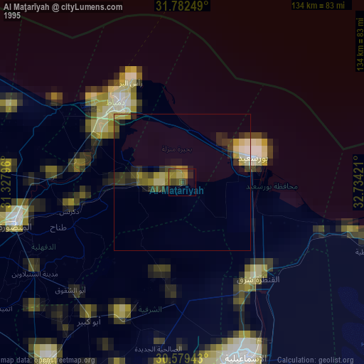
» NASA, Earths city lights 1995
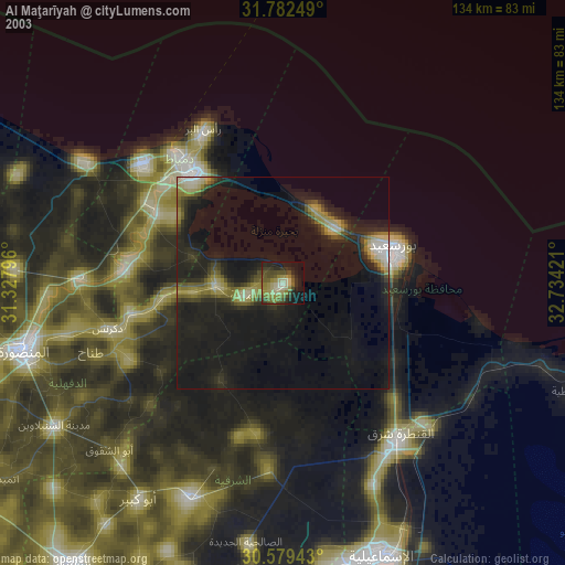
» NASA city lights 2003
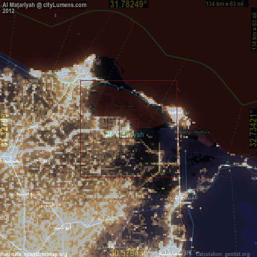
» Earth at Night: Flat Maps 2012, 2016