Al Manzalah night lights from space
Night Light of Al Manzalah (Dakahlia) from space (Egypt) Src. Average luminocity for 10x10km area is 66.3004% and for 50x50km: 34.3586%.
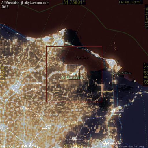
Analysis of Al Manzalah night lights 2016
Square area 10x10 km:
 11.17%
90-99
9.89%80-89
11.36%70-79
5.13%60-69
8.42%50-59
27.11%40-49
25.46%30-39
1.28%20-29
0.18%10-19
0%0-9
0%Square area 50x50 km:
1.95%90-99
2.75%80-89
4.95%70-79
4.14%60-69
5.57%50-59
8.89%40-49
15.37%30-39
11.21%20-29
5.5%10-19
8.86%0-9
30.82%Clear (daylight) street map image can be seen on geolist.org.
Map coordinates:
31° 45' 28.8" North, 31° 13' 58.4" East
31° 9' 29.6" North, 31° 56' 9.6" East
30° 33' 16.7" North, 32° 38' 20.9" East
Some cities around Al Manzalah sort by population:
• Port Said
36.8 km =22.9 mi,  71°
71°
• Dikirnis
33.4 km =20.8 mi,  256°
256°
• Damietta
31 km =19.3 mi,  337°
337°
• Al Jammālīyah
7.2 km =4.5 mi,  290°
290°
• Fāraskūr
28.4 km =17.6 mi,  312°
312°
• Minyat an Naşr
28.1 km =17.5 mi, 262°
• Shirbīn
39.4 km =24.5 mi,  276°
276°
• Az Zarqā
29.1 km =18.1 mi, 281°
360754 (p: 67,486)
Sources (retrieved 2019-11-25):
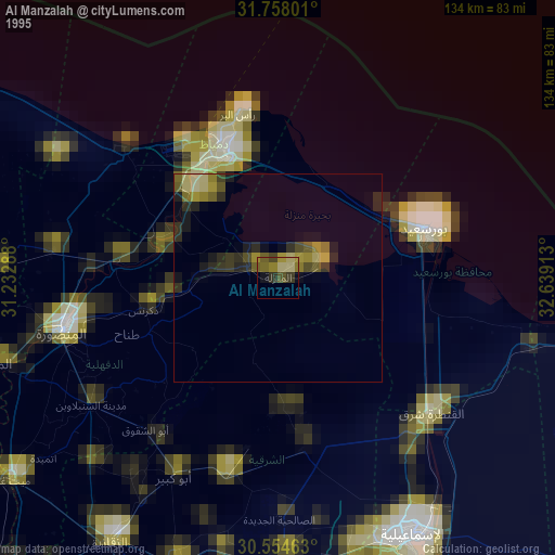
» NASA, Earths city lights 1995
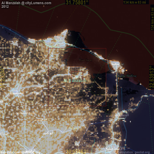
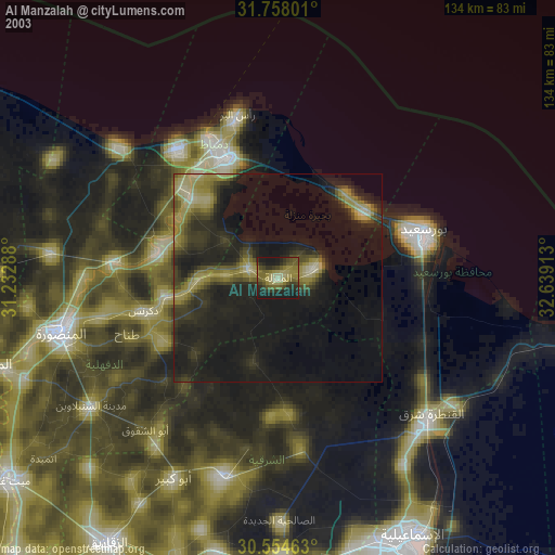
» NASA city lights 2003
» Earth at Night: Flat Maps 2012, 2016