Al Jammālīyah night lights from space
Night Light of Al Jammālīyah (Dakahlia) from space (Egypt) Src. Average luminocity for 10x10km area is 66.6575% and for 50x50km: 41.1137%.
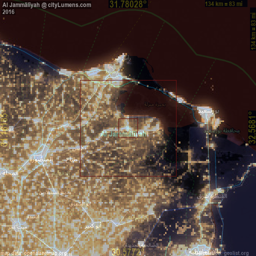
Analysis of Al Jammālīyah night lights 2016
Square area 10x10 km:
 6.41%
6.41%90-99
9.52%80-89
17.4%70-79
6.23%60-69
12.27%50-59
29.12%40-49
16.3%30-39
2.75%20-29
0%10-19
0%0-9
0%Square area 50x50 km:
2.81%90-99
3.98%80-89
7.28%70-79
5.24%60-69
6.66%50-59
10.97%40-49
17.43%30-39
10.66%20-29
5.16%10-19
6.87%0-9
22.94%Clear (daylight) street map image can be seen on geolist.org.
Map coordinates:
31° 46' 49" North, 31° 9' 42.7" East
31° 10' 50.3" North, 31° 51' 53.9" East
30° 34' 37.9" North, 32° 34' 5.2" East
Some cities around Al Jammālīyah sort by population:
• Dikirnis
27.7 km =17.2 mi,  248°
248°
• Al Maţarīyah
15.8 km =9.8 mi,  89°
89°
• Damietta
26.7 km =16.6 mi,  349°
349°
• Al Manzalah
7.2 km =4.5 mi,  110°
110°
• Fāraskūr
21.9 km =13.6 mi,  319°
319°
• Minyat an Naşr
22 km =13.7 mi, 254°
• Shirbīn
32.5 km =20.2 mi,  273°
273°
• Az Zarqā
22.1 km =13.7 mi,  278°
278°
361029 (p: 68,381)
Sources (retrieved 2019-11-25):
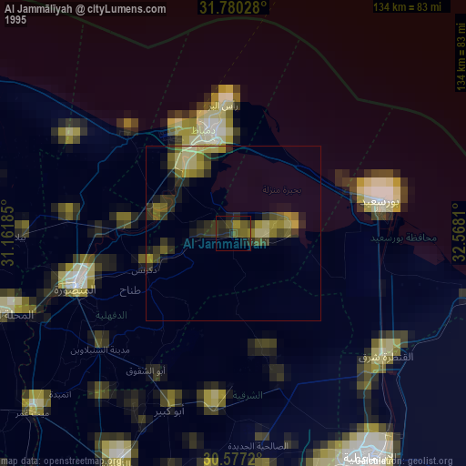
» NASA, Earths city lights 1995
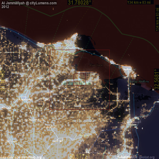
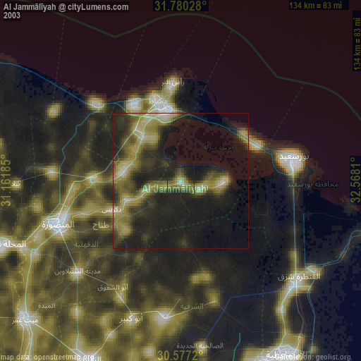
» NASA city lights 2003
» Earth at Night: Flat Maps 2012, 2016