Minyat an Naşr night lights from space
Night Light of Minyat an Naşr (Dakahlia) from space (Egypt) Src. Average luminocity for 10x10km area is 62.0751% and for 50x50km: 59.6833%.
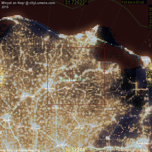
Analysis of Minyat an Naşr night lights 2016
Square area 10x10 km:
 8.24%
8.24%90-99
9.71%80-89
10.44%70-79
6.23%60-69
6.59%50-59
12.64%40-49
39.56%30-39
6.59%20-29
0%10-19
0%0-9
0%Square area 50x50 km:
4.73%90-99
6.76%80-89
11.83%70-79
8.93%60-69
11.67%50-59
19.87%40-49
22.23%30-39
8.11%20-29
2.2%10-19
1.36%0-9
2.3%Clear (daylight) street map image can be seen on geolist.org.
Map coordinates:
31° 43' 34.4" North, 30° 56' 24" East
31° 7' 34.5" North, 31° 38' 35.3" East
30° 31' 20.8" North, 32° 20' 46.5" East
Some cities around Minyat an Naşr sort by population:
• Al Manşūrah
26.9 km =16.7 mi,  248°
248°
• Ţalkhā
26.5 km =16.5 mi, 252°
• Dikirnis
6.2 km =3.9 mi,  228°
228°
• Al Jammālīyah
22 km =13.7 mi,  74°
74°
• Al Manzalah
28.1 km =17.5 mi,  82°
82°
• Fāraskūr
23.6 km =14.7 mi,  16°
16°
• Shirbīn
13.8 km =8.6 mi,  304°
304°
• Az Zarqā
9.2 km =5.7 mi,  355°
355°
352344 (p: 56,951)
Sources (retrieved 2019-11-25):
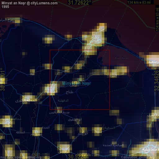
» NASA, Earths city lights 1995
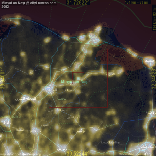
» NASA city lights 2003
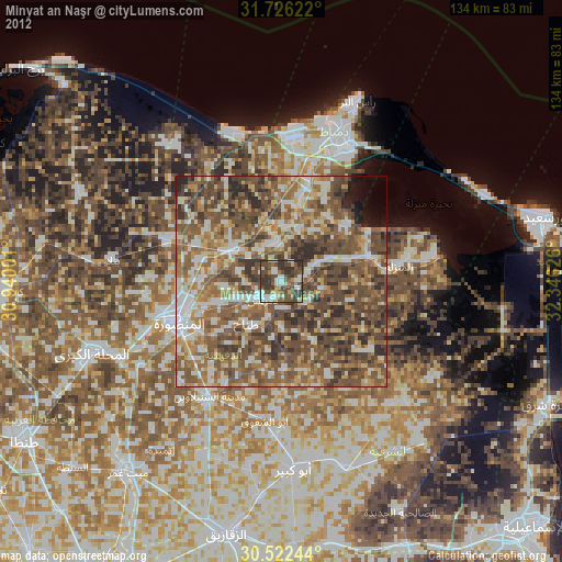
» Earth at Night: Flat Maps 2012, 2016