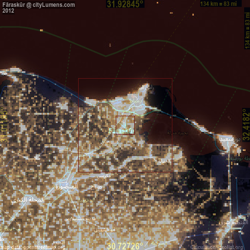
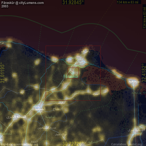
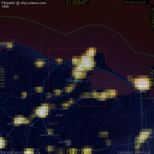
Fāraskūr night lights from space
Night Light of Fāraskūr (Damietta) from space (Egypt) Src. Average luminocity for 10x10km area is 74.722% and for 50x50km: 45.7197%.
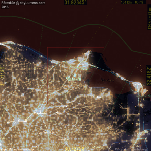
Analysis of Fāraskūr night lights 2016
Square area 10x10 km:
 7.34%
7.34%90-99
13.46%80-89
22.73%70-79
14.34%60-69
18.36%50-59
20.45%40-49
2.8%30-39
0.52%20-29
0%10-19
0%0-9
0%Square area 50x50 km:
5.11%90-99
6.72%80-89
9.21%70-79
5.64%60-69
7.17%50-59
11.74%40-49
15.4%30-39
5.9%20-29
4.12%10-19
6.39%0-9
22.61%Clear (daylight) street map image can be seen on geolist.org.
Map coordinates:
31° 55' 42.4" North, 31° 0' 43" East
31° 19' 47.2" North, 31° 42' 54.3" East
30° 43' 38.1" North, 32° 25' 5.5" East
Some cities around Fāraskūr sort by population:
• Dikirnis
29.1 km =18.1 mi,  203°
203°
• Damietta
13.4 km =8.3 mi,  44°
44°
• Al Jammālīyah
21.9 km =13.6 mi,  139°
139°
• Al Manzalah
28.4 km =17.6 mi,  132°
132°
• Minyat an Naşr
23.6 km =14.7 mi, 196°
• Shirbīn
23.4 km =14.5 mi,  230°
230°
• Az Zarqā
15.5 km =9.6 mi,  209°
209°
• ‘Izbat al Burj
23.2 km =14.4 mi,  31°
31°
356945 (p: 58,284)
Sources (retrieved 2019-11-25):
» NASA, Earths city lights 1995
» NASA city lights 2003
» Earth at Night: Flat Maps 2012, 2016