Dikirnis night lights from space
Night Light of Dikirnis (Dakahlia) from space (Egypt) Src. Average luminocity for 10x10km area is 68.6593% and for 50x50km: 63.6911%.
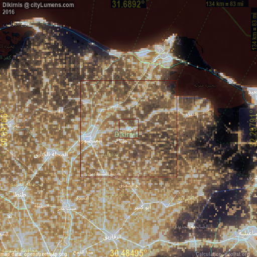
Analysis of Dikirnis night lights 2016
Square area 10x10 km:
 10.07%
90-99
12.09%80-89
11.54%70-79
9.34%60-69
11.9%50-59
28.75%40-49
15.57%30-39
0.73%20-29
0%10-19
0%0-9
0%Square area 50x50 km:
5.96%90-99
8.14%80-89
13.1%70-79
9.89%60-69
13.3%50-59
20.9%40-49
20.05%30-39
6.08%20-29
1.77%10-19
0.58%0-9
0.23%Clear (daylight) street map image can be seen on geolist.org.
Map coordinates:
31° 41' 21.1" North, 30° 53' 30" East
31° 5' 20.3" North, 31° 35' 41.2" East
30° 29' 5.8" North, 32° 17' 52.5" East
Some cities around Dikirnis sort by population:
• Al Manşūrah
21.2 km =13.2 mi,  253°
253°
• Ţalkhā
21 km =13 mi,  259°
259°
• Bilqās
26.5 km =16.5 mi,  301°
301°
• Al Jammālīyah
27.7 km =17.2 mi,  68°
68°
• Fāraskūr
29.1 km =18.1 mi,  23°
23°
• Minyat an Naşr
6.2 km =3.9 mi,  48°
48°
• Shirbīn
13.7 km =8.5 mi,  330°
330°
• Az Zarqā
13.9 km =8.6 mi, 16°
358172 (p: 137,542)
Sources (retrieved 2019-11-25):
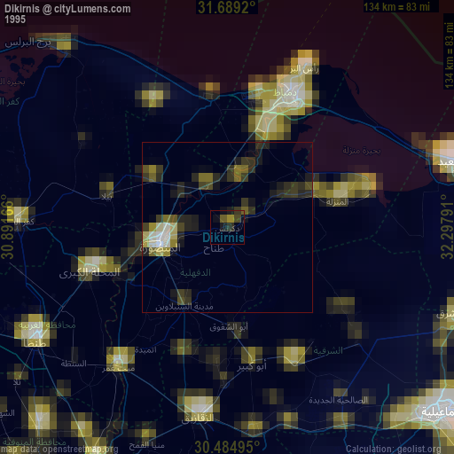
» NASA, Earths city lights 1995
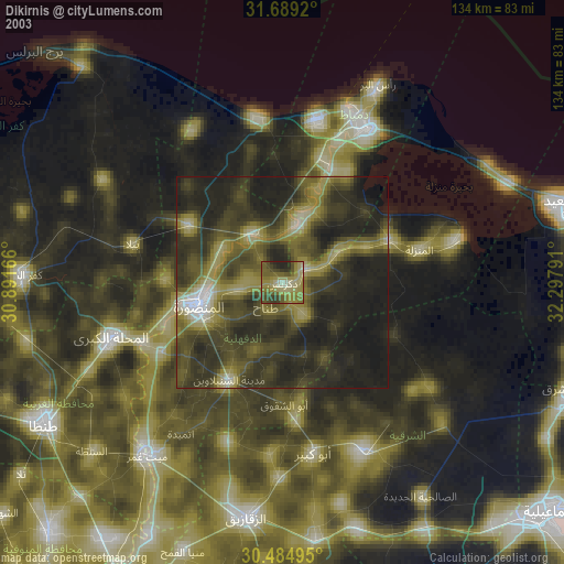
» NASA city lights 2003
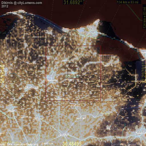
» Earth at Night: Flat Maps 2012, 2016