Abnūb night lights from space
Night Light of Abnūb (Asyut) from space (Egypt) Src. Average luminocity for 10x10km area is 84.8333% and for 50x50km: 33.9603%.
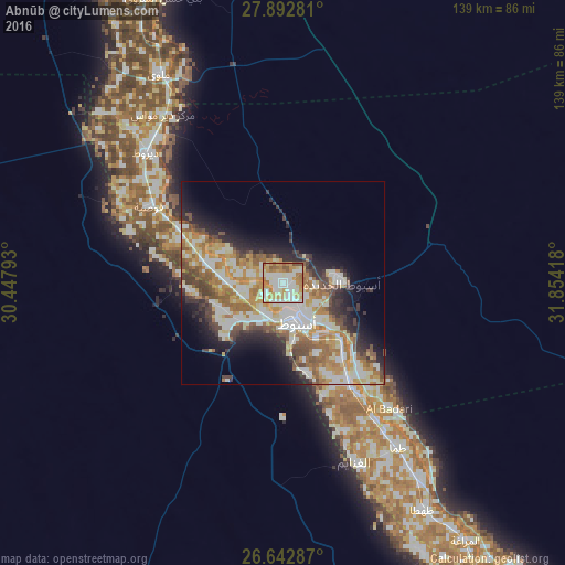
Analysis of Abnūb night lights 2016
Square area 10x10 km:
 16.86%
90-99
33.33%80-89
13.45%70-79
17.23%60-69
12.88%50-59
5.3%40-49
0.95%30-39
0%20-29
0%10-19
0%0-9
0%Square area 50x50 km:
5.9%90-99
8.17%80-89
4.47%70-79
5.69%60-69
6.16%50-59
3.86%40-49
4.19%30-39
3.38%20-29
5.58%10-19
8.23%0-9
44.37%Clear (daylight) street map image can be seen on geolist.org.
Map coordinates:
27° 53' 34.1" North, 30° 26' 52.5" East
27° 16' 10.6" North, 31° 9' 3.8" East
26° 38' 34.3" North, 31° 51' 15" East
Some cities around Abnūb sort by population:
• Asyūţ
10.4 km =6.5 mi,  161°
161°
• Mallawī
59.7 km =37.1 mi,  329°
329°
• Manfalūţ
18.5 km =11.5 mi,  284°
284°
• Abū Tīj
30.1 km =18.7 mi,  146°
146°
• Al Qūşīyah
37.9 km =23.5 mi,  300°
300°
• Dayrūţ
46.5 km =28.9 mi,  313°
313°
• Al Badārī
40.4 km =25.1 mi,  139°
139°
• Dayr Mawās
51.1 km =31.8 mi,  324°
324°
362973 (p: 68,749)
Sources (retrieved 2019-11-25):
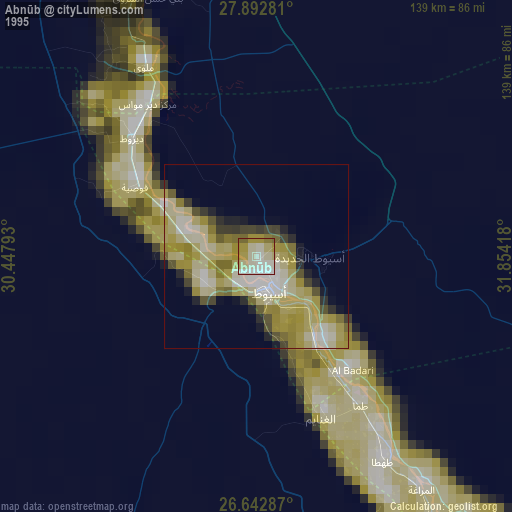
» NASA, Earths city lights 1995
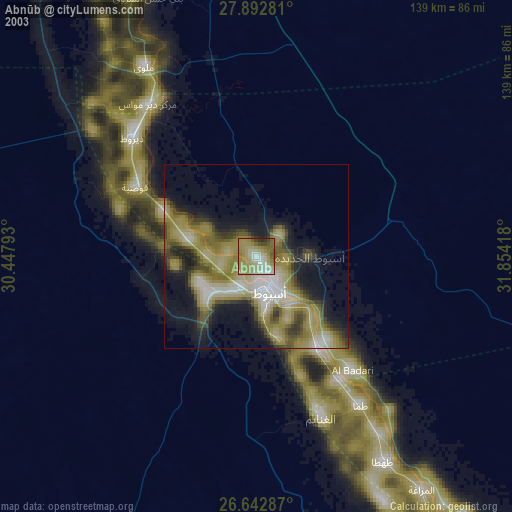
» NASA city lights 2003
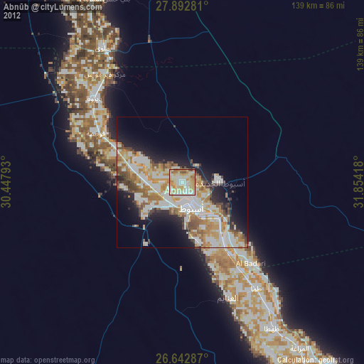
» Earth at Night: Flat Maps 2012, 2016