Ventanas night lights from space
Night Light of Ventanas (Los Ríos) from space (Ecuador) Src. Average luminocity for 10x10km area is 10.6558% and for 50x50km: 1.3297%.
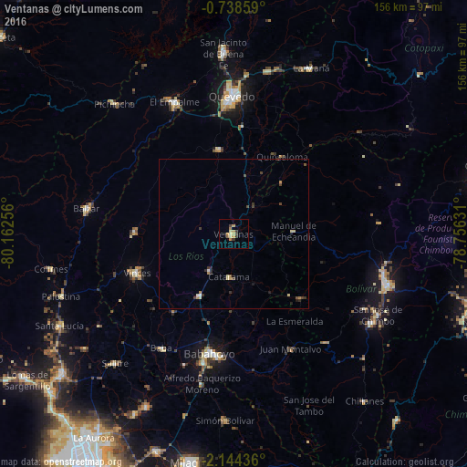
Analysis of Ventanas night lights 2016
Square area 10x10 km:
 0%
0%90-99
0%80-89
3.03%70-79
3.9%60-69
1.73%50-59
0.87%40-49
0.65%30-39
2.6%20-29
1.08%10-19
0.87%0-9
85.28%Square area 50x50 km:
0.03%90-99
0.1%80-89
0.3%70-79
0.26%60-69
0.17%50-59
0.1%40-49
0.28%30-39
0.4%20-29
0.29%10-19
0.17%0-9
97.91%Clear (daylight) street map image can be seen on geolist.org.
Map coordinates:
0° 44' 18.9" South, 80° 9' 45.2" West
1° 26' 29.7" South, 79° 27' 33.9" West
2° 8' 39.7" South, 78° 45' 22.7" West
Some cities around Ventanas sort by population:
• Quevedo
45.9 km =28.5 mi,  359°
359°
• Babahoyo
41 km =25.5 mi,  191°
191°
• Velasco Ibarra
48.5 km =30.1 mi,  335°
335°
• Balzar
50.2 km =31.2 mi,  279°
279°
• Vinces
34.9 km =21.7 mi,  248°
248°
• Montalvo
43.2 km =26.8 mi,  153°
153°
• Catarama
14.8 km =9.2 mi,  180°
180°
• Palenque
33 km =20.5 mi,  270°
270°
3650267 (p: 46,708)
Sources (retrieved 2019-11-25):
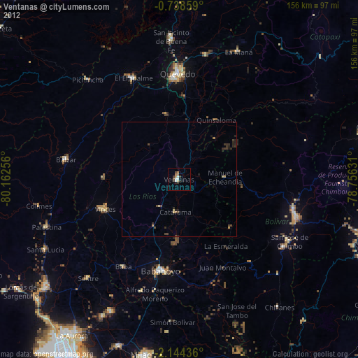
» Earth at Night: Flat Maps 2012, 2016