Quevedo night lights from space
Night Light of Quevedo (Los Ríos) from space (Ecuador) Src. Average luminocity for 10x10km area is 50.4329% and for 50x50km: 5.5183%.
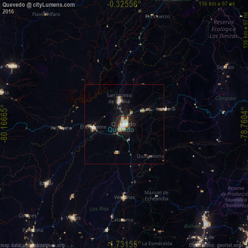

Analysis of Quevedo night lights 2016
Square area 10x10 km:
 11.26%
90-99
8.87%80-89
7.14%70-79
12.55%60-69
4.76%50-59
0.87%40-49
3.46%30-39
6.49%20-29
15.15%10-19
28.35%0-9
1.08%Square area 50x50 km:
0.66%90-99
0.75%80-89
0.49%70-79
0.75%60-69
0.8%50-59
0.51%40-49
0.7%30-39
1.07%20-29
1.19%10-19
3.48%0-9
89.58%Clear (daylight) street map image can be seen on geolist.org.
Map coordinates:
0° 19' 32" South, 80° 9' 59.9" West
1° 1' 43.1" South, 79° 27' 48.7" West
1° 43' 53.6" South, 78° 45' 37.4" West
Some cities around Quevedo sort by population:
• Velasco Ibarra
19.5 km =12.1 mi,  265°
265°
• Ventanas
45.9 km =28.5 mi,  179°
179°
• Chone
79.1 km =49.2 mi,  297°
297°
• Balzar
61.7 km =38.3 mi,  232°
232°
• Vinces
66.8 km =41.5 mi,  208°
208°
• La Maná
28.2 km =17.5 mi,  69°
69°
• Catarama
60.8 km =37.8 mi, 179°
• Palenque
56 km =34.8 mi,  215°
215°
3652567 (p: 119,436)
Sources (retrieved 2019-11-25):
» NASA, Earths city lights 1995
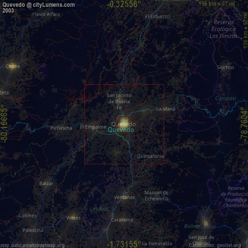
» NASA city lights 2003
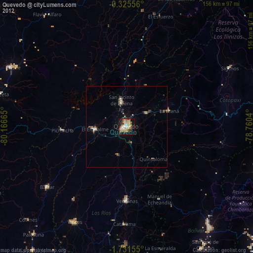
» Earth at Night: Flat Maps 2012, 2016