Babahoyo night lights from space
Night Light of Babahoyo (Los Ríos) from space (Ecuador) Src. Average luminocity for 10x10km area is 37.5952% and for 50x50km: 3.8609%.
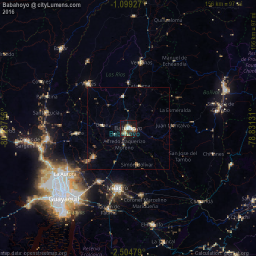
Analysis of Babahoyo night lights 2016
Square area 10x10 km:
 6.49%
6.49%90-99
6.49%80-89
5.63%70-79
4.76%60-69
6.06%50-59
1.73%40-49
6.28%30-39
4.55%20-29
4.98%10-19
39.61%0-9
13.42%Square area 50x50 km:
0.39%90-99
0.42%80-89
0.37%70-79
0.47%60-69
0.64%50-59
0.24%40-49
0.8%30-39
0.95%20-29
0.61%10-19
2.67%0-9
92.44%Clear (daylight) street map image can be seen on geolist.org.
Map coordinates:
1° 5' 57.4" South, 80° 14' 15.2" West
1° 48' 7.8" South, 79° 32' 3.9" West
2° 30' 17.2" South, 78° 49' 52.7" West
Some cities around Babahoyo sort by population:
• Milagro
37.5 km =23.3 mi,  190°
190°
• Vinces
36.5 km =22.7 mi,  318°
318°
• Yaguachi Nuevo
37.3 km =23.2 mi,  208°
208°
• Samborondón
27.6 km =17.1 mi,  229°
229°
• Montalvo
27.5 km =17.1 mi,  87°
87°
• Alfredo Baquerizo Moreno
12.9 km =8 mi,  171°
171°
• Catarama
26.6 km =16.5 mi,  18°
18°
• Palestina
25 km =15.5 mi, 233°
3660418 (p: 76,279)
Sources (retrieved 2019-11-25):
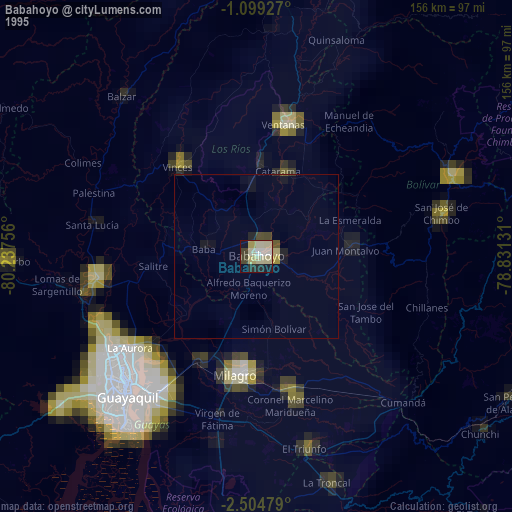
» NASA, Earths city lights 1995
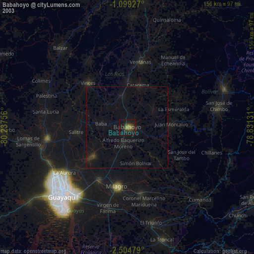
» NASA city lights 2003
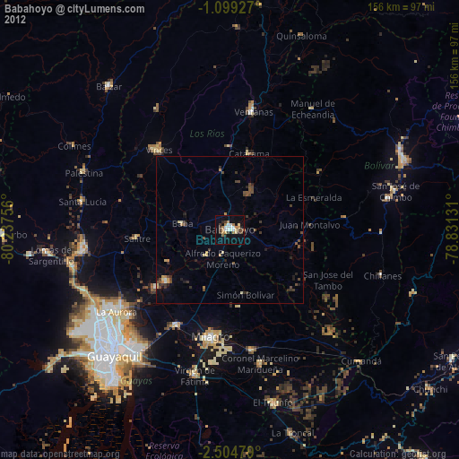
» Earth at Night: Flat Maps 2012, 2016