Velasco Ibarra night lights from space
Night Light of Velasco Ibarra (Guayas) from space (Ecuador) Src. Average luminocity for 10x10km area is 17.803% and for 50x50km: 5.0622%.
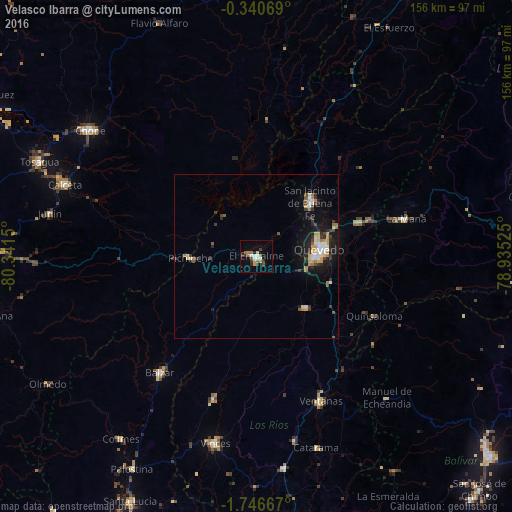
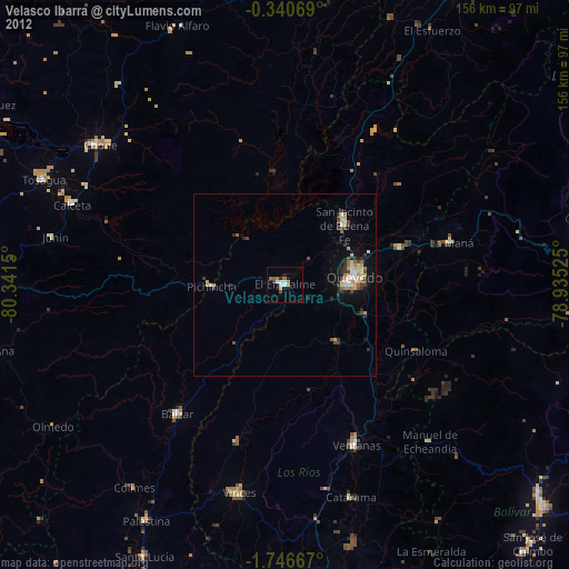
Analysis of Velasco Ibarra night lights 2016
Square area 10x10 km:
 1.95%
1.95%90-99
3.25%80-89
1.3%70-79
2.16%60-69
3.46%50-59
2.38%40-49
1.73%30-39
4.55%20-29
1.3%10-19
1.08%0-9
76.84%Square area 50x50 km:
0.66%90-99
0.7%80-89
0.51%70-79
0.73%60-69
0.73%50-59
0.42%40-49
0.5%30-39
1.06%20-29
1.2%10-19
3.33%0-9
90.16%Clear (daylight) street map image can be seen on geolist.org.
Map coordinates:
0° 20' 26.5" South, 80° 20' 29.4" West
1° 2' 37.5" South, 79° 38' 18.1" West
1° 44' 48" South, 78° 56' 6.9" West
Some cities around Velasco Ibarra sort by population:
• Quevedo
19.5 km =12.1 mi,  85°
85°
• Ventanas
48.5 km =30.1 mi,  155°
155°
• Balzar
46.4 km =28.8 mi,  219°
219°
• Vinces
58.3 km =36.2 mi,  192°
192°
• Calceta
62.4 km =38.8 mi,  290°
290°
• La Maná
47.3 km =29.4 mi,  76°
76°
• Catarama
62.3 km =38.7 mi, 161°
• Palenque
45.8 km =28.5 mi,  196°
196°
3650273 (p: 48,754)
Sources (retrieved 2019-11-25):
» Earth at Night: Flat Maps 2012, 2016