Balzar night lights from space
Night Light of Balzar (Guayas) from space (Ecuador) Src. Average luminocity for 10x10km area is 11.5909% and for 50x50km: 1.7041%.
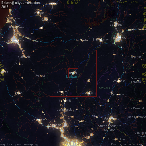
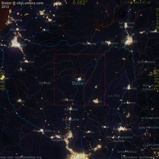
Analysis of Balzar night lights 2016
Square area 10x10 km:
 1.08%
1.08%90-99
1.52%80-89
1.73%70-79
3.25%60-69
1.08%50-59
0.43%40-49
1.3%30-39
3.46%20-29
0%10-19
0.87%0-9
85.28%Square area 50x50 km:
0.12%90-99
0.14%80-89
0.32%70-79
0.24%60-69
0.32%50-59
0.15%40-49
0.28%30-39
0.43%20-29
0.2%10-19
0.16%0-9
97.64%Clear (daylight) street map image can be seen on geolist.org.
Map coordinates:
0° 39' 43.2" South, 80° 36' 29.1" West
1° 21' 54" South, 79° 54' 17.8" West
2° 4' 4.2" South, 79° 12' 6.6" West
Some cities around Balzar sort by population:
• Velasco Ibarra
46.4 km =28.8 mi,  39°
39°
• Ventanas
50.2 km =31.2 mi,  99°
99°
• Vinces
27.2 km =16.9 mi,  141°
141°
• Sucre
57.9 km =36 mi,  279°
279°
• Santa Ana
54.7 km =34 mi,  288°
288°
• Catarama
54.7 km =34 mi,  115°
115°
• Colimes
23.3 km =14.5 mi,  210°
210°
• Palenque
18.4 km =11.4 mi, 116°
3660361 (p: 40,115)
Sources (retrieved 2019-11-25):
» Earth at Night: Flat Maps 2012, 2016