Palenque night lights from space
Night Light of Palenque (Los Ríos) from space (Ecuador) Src. Average luminocity for 10x10km area is 5.8766% and for 50x50km: 2.0671%.
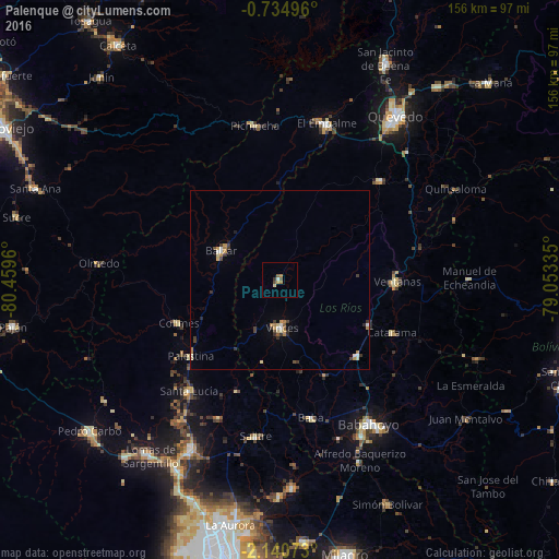
Analysis of Palenque night lights 2016
Square area 10x10 km:
 0.87%
0.87%90-99
0%80-89
1.3%70-79
0.43%60-69
1.73%50-59
0.87%40-49
1.73%30-39
0.87%20-29
0%10-19
0%0-9
92.21%Square area 50x50 km:
0.16%90-99
0.27%80-89
0.29%70-79
0.31%60-69
0.36%50-59
0.16%40-49
0.3%30-39
0.58%20-29
0.19%10-19
0.09%0-9
97.29%Clear (daylight) street map image can be seen on geolist.org.
Map coordinates:
0° 44' 5.9" South, 80° 27' 34.6" West
1° 26' 16.6" South, 79° 45' 23.3" West
2° 8' 26.6" South, 79° 3' 12.1" West
Some cities around Palenque sort by population:
• Babahoyo
47.4 km =29.5 mi,  148°
148°
• Velasco Ibarra
45.8 km =28.5 mi,  16°
16°
• Ventanas
33 km =20.5 mi,  90°
90°
• Balzar
18.4 km =11.4 mi,  296°
296°
• Vinces
13.1 km =8.1 mi,  177°
177°
• Catarama
36.3 km =22.6 mi,  114°
114°
• Colimes
30.8 km =19.1 mi,  247°
247°
• Palestina
55.7 km =34.6 mi, 175°
3653587 (p: 9,083)
Sources (retrieved 2019-11-25):
» Earth at Night: Flat Maps 2012, 2016