Tutamandahostel night lights from space
Night Light of Tutamandahostel (Pichincha) from space (Ecuador) Src. Average luminocity for 10x10km area is 85.0844% and for 50x50km: 41.7863%.
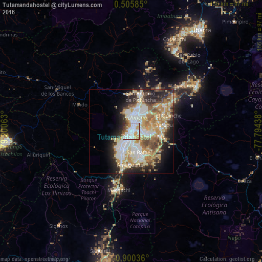


Analysis of Tutamandahostel night lights 2016
Square area 10x10 km:
 33.98%
90-99
25.54%80-89
9.52%70-79
9.96%60-69
6.28%50-59
5.84%40-49
3.9%30-39
2.38%20-29
2.6%10-19
0%0-9
0%Square area 50x50 km:
9.87%90-99
8.99%80-89
6.84%70-79
6.77%60-69
5.81%50-59
3.55%40-49
4.52%30-39
4.11%20-29
7.3%10-19
8.19%0-9
34.07%Clear (daylight) street map image can be seen on geolist.org.
Map coordinates:
0° 30' 21.1" North, 79° 12' 2.3" West
0° 11' 50.2" South, 78° 29' 51" West
0° 54' 1.3" South, 77° 47' 39.8" West
Some cities around Tutamandahostel sort by population:
• Quito
4.7 km =2.9 mi,  220°
220°
• Ibarra
73.9 km =45.9 mi,  34°
34°
• Otavalo
54.7 km =34 mi, 28°
• Cayambe
47.3 km =29.4 mi,  55°
55°
• Machachi
35.6 km =22.1 mi,  192°
192°
• Atuntaqui
66.8 km =41.5 mi, 28°
• Cotacachi
61.2 km =38 mi, 25°
• Sangolquí
16 km =9.9 mi,  161°
161°
10277901 (p: 140,000)
Sources (retrieved 2019-11-25):
» NASA, Earths city lights 1995
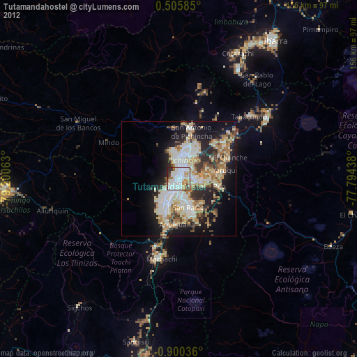
» NASA city lights 2003
» Earth at Night: Flat Maps 2012, 2016