Otavalo night lights from space
Night Light of Otavalo (Imbabura) from space (Ecuador) Src. Average luminocity for 10x10km area is 49.3658% and for 50x50km: 16.2026%.
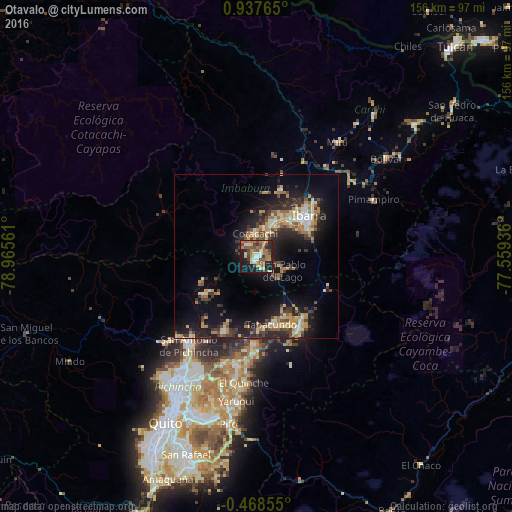
Analysis of Otavalo night lights 2016
Square area 10x10 km:
 3.25%
3.25%90-99
8.66%80-89
5.84%70-79
6.93%60-69
16.67%50-59
8.01%40-49
9.74%30-39
6.49%20-29
12.34%10-19
19.7%0-9
2.38%Square area 50x50 km:
0.88%90-99
2.48%80-89
2.02%70-79
2.67%60-69
3.08%50-59
1.51%40-49
2.57%30-39
3.22%20-29
5.23%10-19
12.29%0-9
64.05%Clear (daylight) street map image can be seen on geolist.org.
Map coordinates:
0° 56' 15.5" North, 78° 57' 56.2" West
0° 14' 4.5" North, 78° 15' 44.9" West
0° 28' 6.8" South, 77° 33' 33.7" West
Some cities around Otavalo sort by population:
• Quito
59.3 km =36.8 mi,  209°
209°
• Tutamandahostel
54.7 km =34 mi, 208°
• Ibarra
20.3 km =12.6 mi,  50°
50°
• Cayambe
25.2 km =15.7 mi,  148°
148°
• Atuntaqui
12.2 km =7.6 mi,  26°
26°
• San Gabriel
62.4 km =38.8 mi, 50°
• Cotacachi
7.4 km =4.6 mi,  358°
358°
• Pimampiro
39.8 km =24.7 mi,  64°
64°
3653693 (p: 32,330)
Sources (retrieved 2019-11-25):
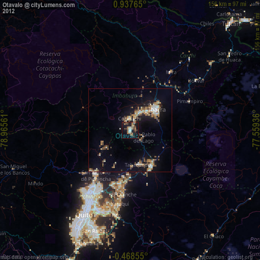
» Earth at Night: Flat Maps 2012, 2016