Machachi night lights from space
Night Light of Machachi (Pichincha) from space (Ecuador) Src. Average luminocity for 10x10km area is 44.5281% and for 50x50km: 14.875%.
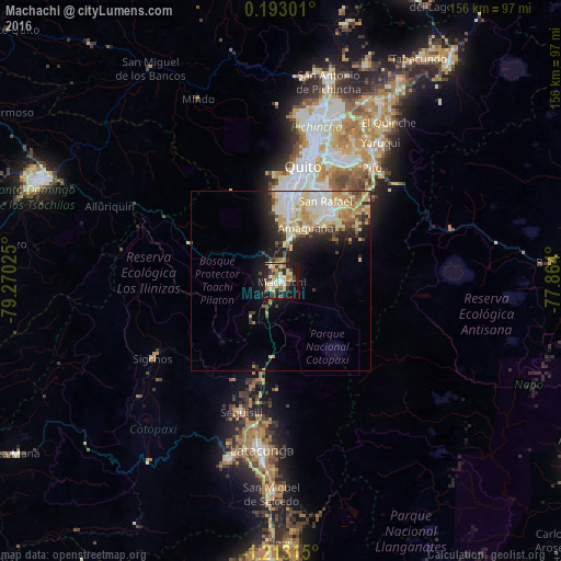
Analysis of Machachi night lights 2016
Square area 10x10 km:
 2.81%
2.81%90-99
8.01%80-89
14.29%70-79
4.98%60-69
6.93%50-59
1.3%40-49
6.28%30-39
8.87%20-29
7.79%10-19
34.63%0-9
4.11%Square area 50x50 km:
2.73%90-99
2.78%80-89
3.42%70-79
2.27%60-69
1.58%50-59
0.77%40-49
1.63%30-39
1.75%20-29
2.96%10-19
6.29%0-9
73.82%Clear (daylight) street map image can be seen on geolist.org.
Map coordinates:
0° 11' 34.8" North, 79° 16' 12.9" West
0° 30' 36.4" South, 78° 34' 1.6" West
1° 12' 47.3" South, 77° 51' 50.4" West
Some cities around Machachi sort by population:
• Quito
31.5 km =19.6 mi,  8°
8°
• Santo Domingo de los Colorados
73.4 km =45.6 mi,  292°
292°
• Tutamandahostel
35.6 km =22.1 mi, 12°
• Latacunga
47.6 km =29.6 mi,  186°
186°
• Pujilí
51.8 km =32.2 mi,  196°
196°
• San Miguel de Salcedo
59.6 km =37 mi,  182°
182°
• Píllaro
73.9 km =45.9 mi, 178°
• Sangolquí
23.4 km =14.5 mi,  33°
33°
3654536 (p: 25,742)
Sources (retrieved 2019-11-25):
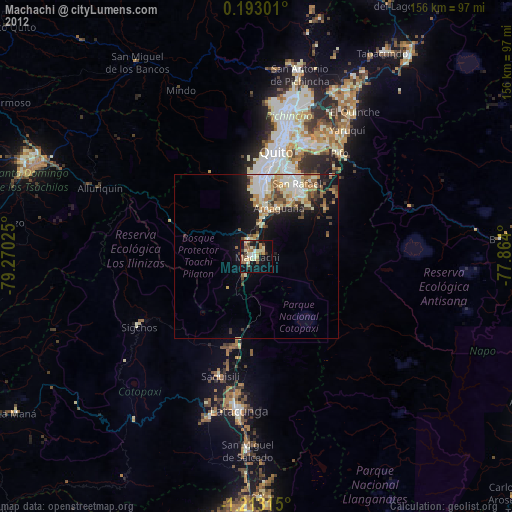
» Earth at Night: Flat Maps 2012, 2016