Ibarra night lights from space
Night Light of Ibarra (Imbabura) from space (Ecuador) Src. Average luminocity for 10x10km area is 62.4589% and for 50x50km: 12.0236%.
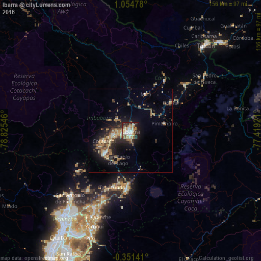
Analysis of Ibarra night lights 2016
Square area 10x10 km:
 11.47%
90-99
18.18%80-89
9.09%70-79
8.66%60-69
11.04%50-59
4.33%40-49
3.46%30-39
9.74%20-29
14.94%10-19
9.09%0-9
0%Square area 50x50 km:
0.7%90-99
1.85%80-89
1.52%70-79
1.73%60-69
2.3%50-59
1.4%40-49
2.02%30-39
2.24%20-29
3.69%10-19
7.53%0-9
75.02%Clear (daylight) street map image can be seen on geolist.org.
Map coordinates:
1° 3' 17.2" North, 78° 49' 31.7" West
0° 21' 6.2" North, 78° 7' 20.4" West
0° 21' 5.1" South, 77° 25' 9.2" West
Some cities around Ibarra sort by population:
• Tulcán
68.2 km =42.4 mi,  41°
41°
• Otavalo
20.3 km =12.6 mi,  230°
230°
• Cayambe
34.7 km =21.6 mi,  184°
184°
• Atuntaqui
10.4 km =6.5 mi,  258°
258°
• San Gabriel
42.1 km =26.2 mi,  50°
50°
• Cotacachi
16.8 km =10.4 mi,  250°
250°
• Cumbal, CO
72 km =44.7 mi,  30°
30°
• Pimampiro
20.7 km =12.9 mi,  77°
77°
3655673 (p: 132,977)
Sources (retrieved 2019-11-25):
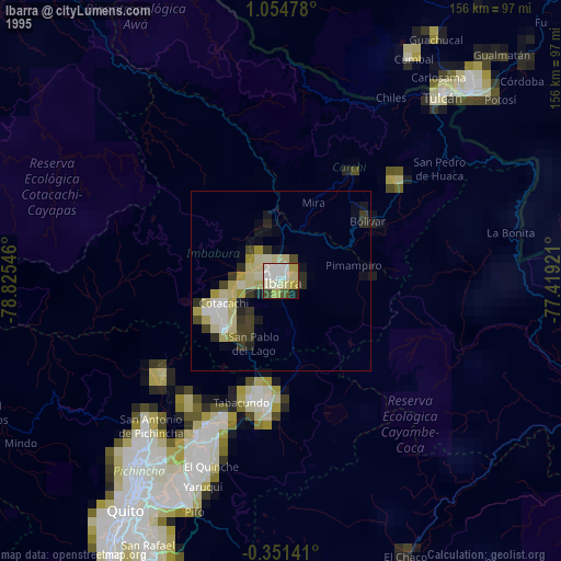
» NASA, Earths city lights 1995
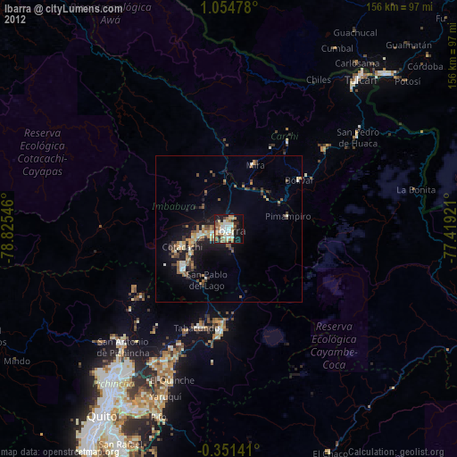
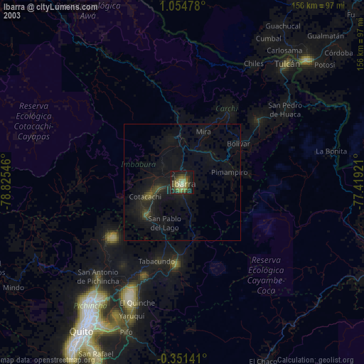
» NASA city lights 2003
» Earth at Night: Flat Maps 2012, 2016