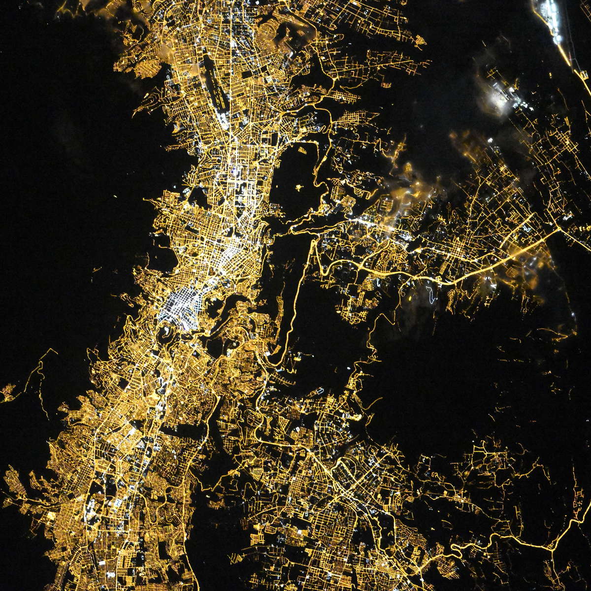
Quito night lights from space
Night Light of Quito (Pichincha) from space (Ecuador) Src. Average luminocity for 10x10km area is 80.8095% and for 50x50km: 38.8172%.
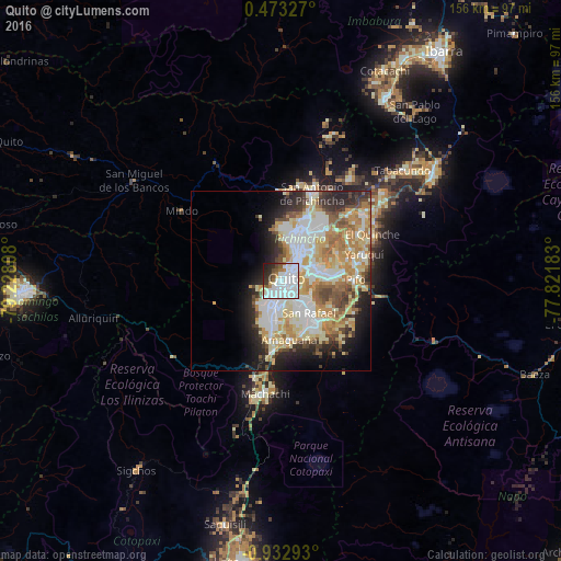
Analysis of Quito night lights 2016
Square area 10x10 km:
 40.04%
90-99
27.49%80-89
1.73%70-79
1.52%60-69
4.98%50-59
4.33%40-49
3.46%30-39
5.41%20-29
8.23%10-19
2.81%0-9
0%Square area 50x50 km:
9.71%90-99
8.46%80-89
6.35%70-79
6.18%60-69
5.14%50-59
3.21%40-49
3.81%30-39
3.38%20-29
6.37%10-19
7.5%0-9
39.88%Clear (daylight) street map image can be seen on geolist.org.
Map coordinates:
0° 28' 23.8" North, 79° 13' 41.1" West
0° 13' 47.5" South, 78° 31' 29.8" West
0° 55' 58.5" South, 77° 49' 18.6" West
Fantastic image of Quito from space taken by astronauts [src2], but I don't have information about it's orientation, scale or angle. If necessary, it was rotated manually, so North points approximately to upper direction. Click to zoom in:
Some cities around Quito sort by population:
• Santo Domingo de los Colorados
72.4 km =45 mi,  267°
267°
• Tutamandahostel
4.7 km =2.9 mi,  40°
40°
• Otavalo
59.3 km =36.8 mi,  29°
29°
• Cayambe
51.8 km =32.2 mi,  54°
54°
• Machachi
31.5 km =19.6 mi,  188°
188°
• Atuntaqui
71.5 km =44.4 mi, 28°
• Cotacachi
65.8 km =40.9 mi, 26°
• SangolquĂ
14.1 km =8.8 mi,  145°
145°
3652462 (p: 1,399,814)
Sources (retrieved 2019-11-25):
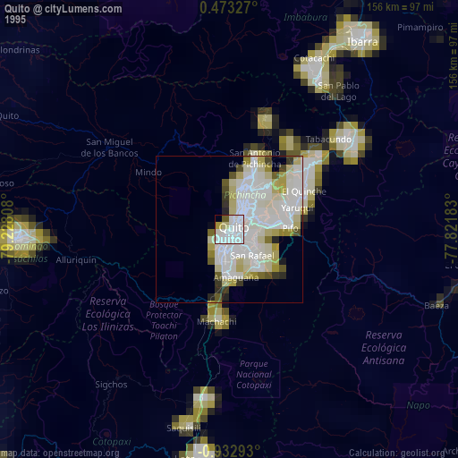
» NASA, Earths city lights 1995
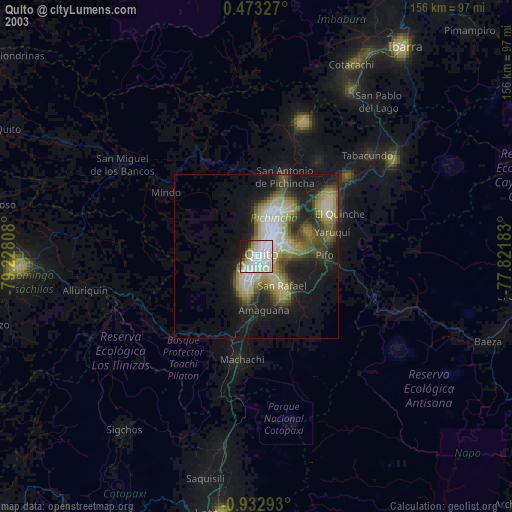
» NASA city lights 2003
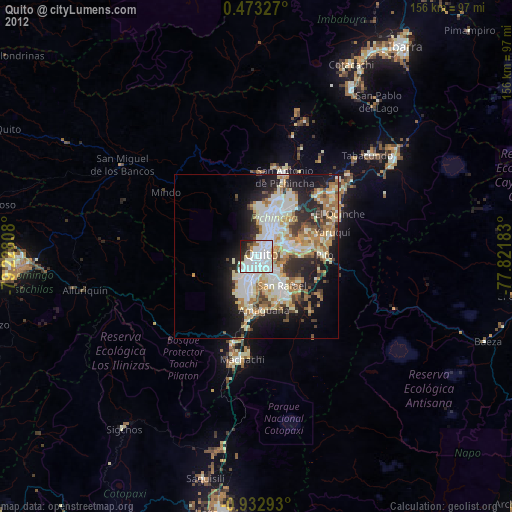
» Earth at Night: Flat Maps 2012, 2016
Src.2: picture by Oleg Kononenko, Roscosmos, retrieved 2019-11-29