Chone night lights from space
Night Light of Chone (Manabí) from space (Ecuador) Src. Average luminocity for 10x10km area is 21.526% and for 50x50km: 3.2445%.
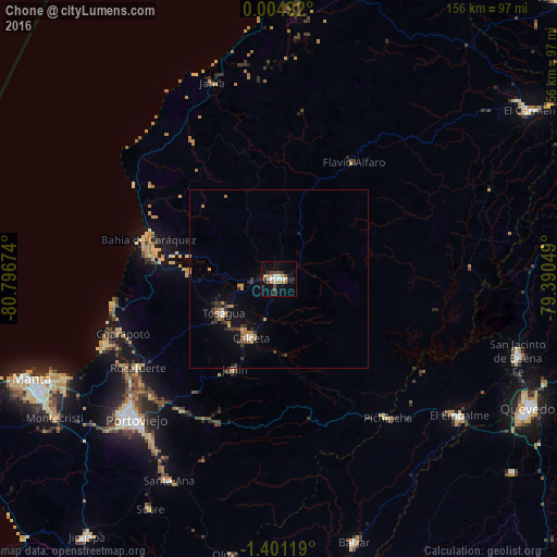
Analysis of Chone night lights 2016
Square area 10x10 km:
 2.38%
2.38%90-99
3.68%80-89
1.73%70-79
2.81%60-69
4.11%50-59
0.87%40-49
4.98%30-39
3.68%20-29
1.73%10-19
11.9%0-9
62.12%Square area 50x50 km:
0.18%90-99
0.27%80-89
0.36%70-79
0.39%60-69
0.7%50-59
0.16%40-49
0.54%30-39
0.82%20-29
0.55%10-19
1.88%0-9
94.15%Clear (daylight) street map image can be seen on geolist.org.
Map coordinates:
0° 0' 17.7" North, 80° 47' 48.3" West
0° 41' 53.5" South, 80° 5' 37" West
1° 24' 4.3" South, 79° 23' 25.8" West
Some cities around Chone sort by population:
• Portoviejo
56.4 km =35 mi,  225°
225°
• Velasco Ibarra
63.5 km =39.5 mi,  127°
127°
• Bahía de Caráquez
38.4 km =23.9 mi,  286°
286°
• Calceta
18.2 km =11.3 mi,  205°
205°
• Tosagua
18.5 km =11.5 mi,  237°
237°
• Santa Ana
64.5 km =40.1 mi, 208°
• Rocafuerte
46.8 km =29.1 mi, 237°
• Junín
28.4 km =17.6 mi, 206°
3659139 (p: 44,751)
Sources (retrieved 2019-11-25):
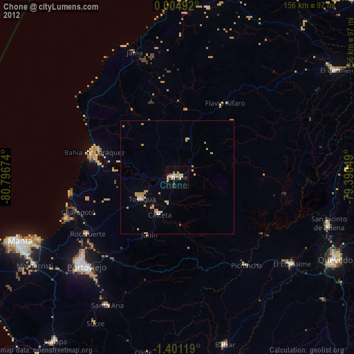
» Earth at Night: Flat Maps 2012, 2016