Pedro Carbo night lights from space
Night Light of Pedro Carbo (Guayas) from space (Ecuador) Src. Average luminocity for 10x10km area is 22.0346% and for 50x50km: 5.3162%.
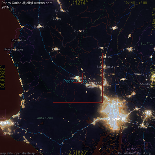
Analysis of Pedro Carbo night lights 2016
Square area 10x10 km:
 0.43%
0.43%90-99
3.03%80-89
5.19%70-79
3.46%60-69
6.06%50-59
0.87%40-49
0.22%30-39
4.33%20-29
3.46%10-19
13.64%0-9
59.31%Square area 50x50 km:
0.15%90-99
0.35%80-89
1.04%70-79
0.5%60-69
0.8%50-59
0.71%40-49
0.86%30-39
1.19%20-29
1.54%10-19
5.48%0-9
87.38%Clear (daylight) street map image can be seen on geolist.org.
Map coordinates:
1° 6' 45.9" South, 80° 56' 10.4" West
1° 48' 56.3" South, 80° 13' 59.1" West
2° 31' 5.7" South, 79° 31' 47.9" West
Some cities around Pedro Carbo sort by population:
• Guayaquil
57.2 km =35.5 mi,  137°
137°
• Eloy Alfaro
58 km =36 mi,  133°
133°
• El Triunfo
32.4 km =20.1 mi,  113°
113°
• Samborondón
58.9 km =36.6 mi, 106°
• Santa Lucía
48.4 km =30.1 mi,  147°
147°
• Colimes
38.8 km =24.1 mi,  39°
39°
• Paján
36.5 km =22.7 mi,  323°
323°
• Lomas de Sargentillo
18.3 km =11.4 mi, 114°
3653295 (p: 23,372)
Sources (retrieved 2019-11-25):
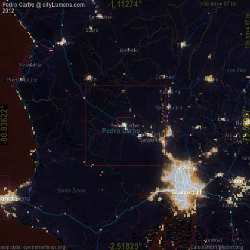
» Earth at Night: Flat Maps 2012, 2016