Pimampiro night lights from space
Night Light of Pimampiro (Imbabura) from space (Ecuador) Src. Average luminocity for 10x10km area is 6.8745% and for 50x50km: 6.5906%.
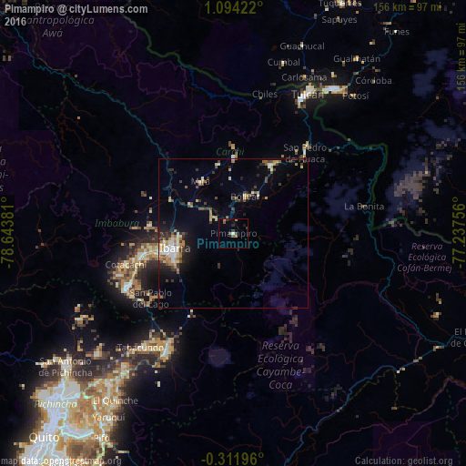
Analysis of Pimampiro night lights 2016
Square area 10x10 km:
 0.65%
0.65%90-99
0.22%80-89
0%70-79
0%60-69
2.6%50-59
1.95%40-49
1.52%30-39
1.73%20-29
1.73%10-19
0.87%0-9
88.74%Square area 50x50 km:
0.53%90-99
1.05%80-89
0.79%70-79
0.74%60-69
1.07%50-59
0.87%40-49
0.83%30-39
1.41%20-29
1.68%10-19
2.88%0-9
88.15%Clear (daylight) street map image can be seen on geolist.org.
Map coordinates:
1° 5' 39.2" North, 78° 38' 37.7" West
0° 23' 28.2" North, 77° 56' 26.4" West
0° 18' 43.1" South, 77° 14' 15.2" West
Some cities around Pimampiro sort by population:
• Ibarra
20.7 km =12.9 mi,  257°
257°
• Tulcán
53 km =32.9 mi,  27°
27°
• Ipiales, CO
58.7 km =36.5 mi, 34°
• Otavalo
39.8 km =24.7 mi,  244°
244°
• Cayambe
45.1 km =28 mi,  210°
210°
• Atuntaqui
31.1 km =19.3 mi, 257°
• San Gabriel
25.6 km =15.9 mi, 28°
• Cotacachi
37.3 km =23.2 mi,  254°
254°
3653146 (p: 7,408)
Sources (retrieved 2019-11-25):
» Earth at Night: Flat Maps 2012, 2016