San Gabriel night lights from space
Night Light of San Gabriel (Carchi) from space (Ecuador) Src. Average luminocity for 10x10km area is 15.526% and for 50x50km: 4.5742%.
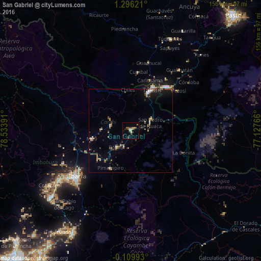
Analysis of San Gabriel night lights 2016
Square area 10x10 km:
 0.43%
0.43%90-99
3.03%80-89
0.65%70-79
2.81%60-69
1.3%50-59
3.9%40-49
2.38%30-39
2.38%20-29
3.9%10-19
1.3%0-9
77.92%Square area 50x50 km:
0.28%90-99
0.55%80-89
0.42%70-79
0.61%60-69
0.55%50-59
0.67%40-49
1%30-39
0.87%20-29
0.69%10-19
2.1%0-9
92.26%Clear (daylight) street map image can be seen on geolist.org.
Map coordinates:
1° 17' 46.4" North, 78° 32' 2.1" West
0° 35' 35.4" North, 77° 49' 50.8" West
0° 6' 35.7" South, 77° 7' 39.6" West
Some cities around San Gabriel sort by population:
• Ibarra
42.1 km =26.2 mi,  230°
230°
• Tulcán
27.4 km =17 mi,  27°
27°
• Ipiales, CO
33.4 km =20.8 mi,  39°
39°
• Atuntaqui
51.5 km =32 mi,  235°
235°
• Cotacachi
58.1 km =36.1 mi, 236°
• Cumbal, CO
35.4 km =22 mi,  7°
7°
• Pimampiro
25.6 km =15.9 mi,  208°
208°
• Pupiales, CO
37.5 km =23.3 mi, 34°
3651868 (p: 15,112)
Sources (retrieved 2019-11-25):
» Earth at Night: Flat Maps 2012, 2016