Aïn Sefra night lights from space
Night Light of Aïn Sefra (Naama) from space (Algeria) Src. Average luminocity for 10x10km area is 17.1906% and for 50x50km: 0.9512%.
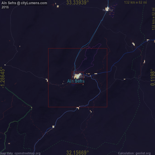
Analysis of Aïn Sefra night lights 2016
Square area 10x10 km:
 0.7%
0.7%90-99
0.7%80-89
7.17%70-79
5.07%60-69
1.05%50-59
0%40-49
1.05%30-39
1.75%20-29
0.7%10-19
6.12%0-9
75.7%Square area 50x50 km:
0.03%90-99
0.03%80-89
0.38%70-79
0.21%60-69
0.04%50-59
0.06%40-49
0.09%30-39
0.14%20-29
0.08%10-19
0.26%0-9
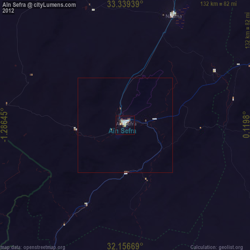
98.68%Clear (daylight) street map image can be seen on geolist.org.
Map coordinates:
33° 20' 21.8" North, 1° 17' 11.2" West
32° 45' 0" North, 0° 34' 60" West
32° 9' 24.1" North, 0° 7' 11.3" East
Some cities around Aïn Sefra sort by population:
• Béchar
198.8 km =123.5 mi,  230°
230°
• El Bayadh
181.6 km =112.8 mi,  55°
55°
• El Abiodh Sidi Cheikh
106.9 km =66.4 mi,  81°
81°
• Bouarfa, MA
131.3 km =81.6 mi,  259°
259°
• Brezina
176.4 km =109.6 mi, 77°
• Aïn Beni Mathar, MA
194.2 km =120.7 mi,  316°
316°
• Figuig (Centre), MA
93.5 km =58.1 mi,  220°
220°
• Naama
62.6 km =38.9 mi,  23°
23°
2507943 (p: 63,420)
Sources (retrieved 2019-11-25):
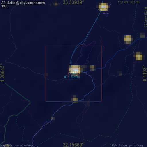
» NASA, Earths city lights 1995
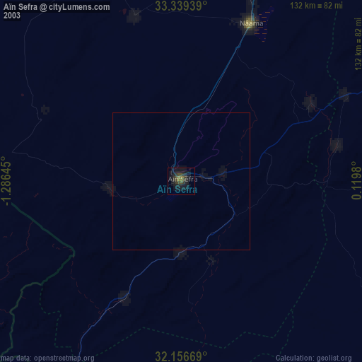
» NASA city lights 2003
» Earth at Night: Flat Maps 2012, 2016