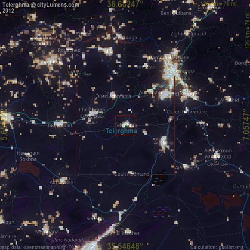
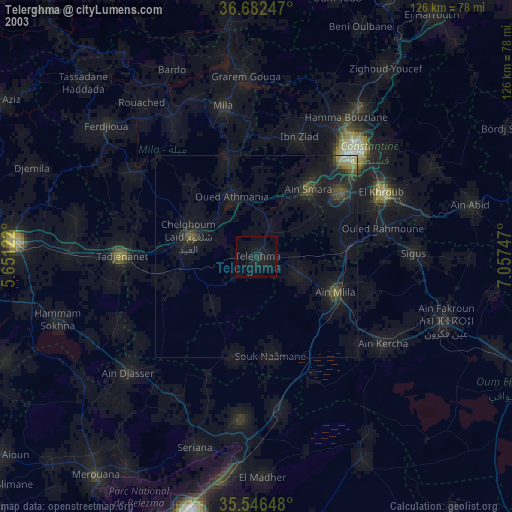
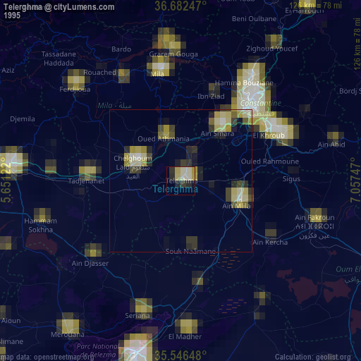
Telerghma night lights from space
Night Light of Telerghma (Mila) from space (Algeria) Src. Average luminocity for 10x10km area is 20.5073% and for 50x50km: 10.0984%.
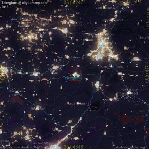
Analysis of Telerghma night lights 2016
Square area 10x10 km:
 2.2%
2.2%90-99
2.93%80-89
5.31%70-79
3.48%60-69
1.47%50-59
0.73%40-49
1.47%30-39
1.47%20-29
2.38%10-19
17.95%0-9
60.62%Square area 50x50 km:
1.12%90-99
2.21%80-89
1.64%70-79
1.27%60-69
0.84%50-59
1.02%40-49
1.22%30-39
1.47%20-29
1.8%10-19
5.42%0-9
82.01%Clear (daylight) street map image can be seen on geolist.org.
Map coordinates:
36° 40' 56.9" North, 5° 39' 4.4" East
36° 6' 59.5" North, 6° 21' 15.6" East
35° 32' 47.3" North, 7° 3' 26.9" East
Some cities around Telerghma sort by population:
• Constantine
36.2 km =22.5 mi,  40°
40°
• El Khroub
34.5 km =21.4 mi,  61°
61°
• Chelghoum el Aïd
17.6 km =10.9 mi,  286°
286°
• Mila
38 km =23.6 mi,  347°
347°
• Hamma Bouziane
39.4 km =24.5 mi,  33°
33°
• Aïn Kercha
37.3 km =23.2 mi,  124°
124°
• Aïn Smara
21.3 km =13.2 mi, 38°
• Didouche Mourad
45.1 km =28 mi, 34°
2477255 (p: 51,708)
Sources (retrieved 2019-11-25):
» NASA, Earths city lights 1995
» NASA city lights 2003
» Earth at Night: Flat Maps 2012, 2016