Constantine night lights from space
Night Light of Constantine from space (Algeria) Src. Average luminocity for 10x10km area is 78.0979% and for 50x50km: 16.0861%.
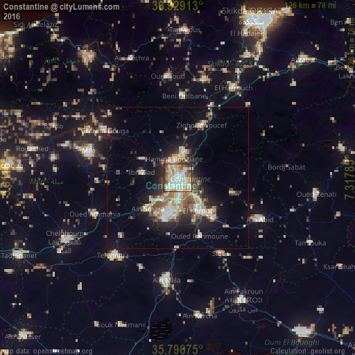
Analysis of Constantine night lights 2016
Square area 10x10 km:
 17.66%
90-99
24.3%80-89
10.66%70-79
20.45%60-69
5.77%50-59
7.34%40-49
7.17%30-39
5.42%20-29
1.22%10-19
0%0-9
0%Square area 50x50 km:
1.8%90-99
3.38%80-89
1.97%70-79
2.34%60-69
1.59%50-59
2.09%40-49
2.76%30-39
2.61%20-29
3.59%10-19
8.48%0-9
69.4%Clear (daylight) street map image can be seen on geolist.org.
Map coordinates:
36° 55' 44.9" North, 5° 54' 41.8" East
36° 21' 54" North, 6° 36' 53" East
35° 47' 48.3" North, 7° 19' 4.3" East
Some cities around Constantine sort by population:
• El Khroub
13.3 km =8.3 mi,  147°
147°
• Mila
32.7 km =20.3 mi,  286°
286°
• Hamma Bouziane
5.5 km =3.4 mi,  342°
342°
• Telerghma
36.2 km =22.5 mi,  220°
220°
• ’Aïn Abid
33 km =20.5 mi,  116°
116°
• Aïn Smara
14.9 km =9.3 mi, 223°
• Didouche Mourad
9.9 km =6.2 mi,  11°
11°
• Sidi Mérouane
36 km =22.4 mi,  298°
298°
2501152 (p: 450,097)
Sources (retrieved 2019-11-25):
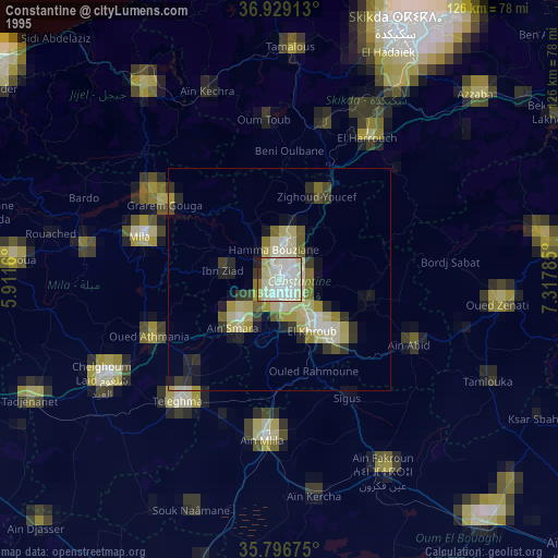
» NASA, Earths city lights 1995
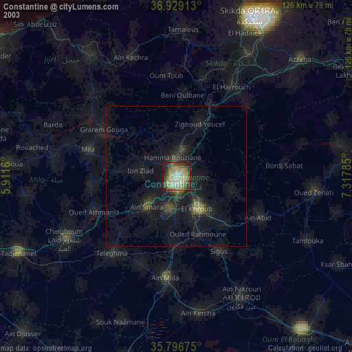
» NASA city lights 2003
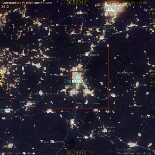
» Earth at Night: Flat Maps 2012, 2016