El Khroub night lights from space
Night Light of El Khroub (Constantine) from space (Algeria) Src. Average luminocity for 10x10km area is 53.7517% and for 50x50km: 16.4494%.
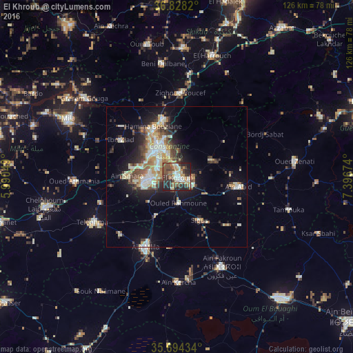

Analysis of El Khroub night lights 2016
Square area 10x10 km:
 4.9%
4.9%90-99
12.94%80-89
4.55%70-79
8.92%60-69
7.87%50-59
11.36%40-49
13.99%30-39
7.69%20-29
21.15%10-19
6.64%0-9
0%Square area 50x50 km:
1.87%90-99
3.66%80-89
2.1%70-79
2.54%60-69
1.55%50-59
1.9%40-49
2.72%30-39
2.43%20-29
3.61%10-19
8.69%0-9
68.94%Clear (daylight) street map image can be seen on geolist.org.
Map coordinates:
36° 49' 41.5" North, 5° 59' 25.8" East
36° 15' 48" North, 6° 41' 37" East
35° 41' 39.6" North, 7° 23' 48.3" East
Some cities around El Khroub sort by population:
• Constantine
13.3 km =8.3 mi,  327°
327°
• Aïn Fakroun
36.3 km =22.6 mi,  153°
153°
• Hamma Bouziane
18.7 km =11.6 mi, 332°
• Telerghma
34.5 km =21.4 mi,  241°
241°
• Aïn Kercha
37.7 km =23.4 mi,  179°
179°
• ’Aïn Abid
22.7 km =14.1 mi,  98°
98°
• Aïn Smara
17.2 km =10.7 mi,  271°
271°
• Didouche Mourad
21.6 km =13.4 mi,  346°
346°
2497849 (p: 83,746)
Sources (retrieved 2019-11-25):
» NASA, Earths city lights 1995
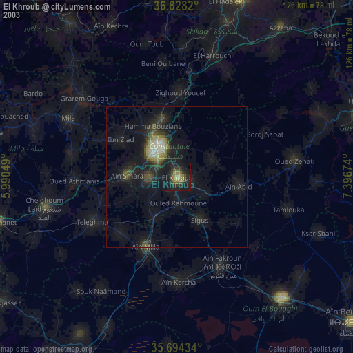
» NASA city lights 2003
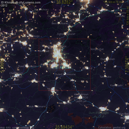
» Earth at Night: Flat Maps 2012, 2016