Didouche Mourad night lights from space
Night Light of Didouche Mourad (Constantine) from space (Algeria) Src. Average luminocity for 10x10km area is 34.3187% and for 50x50km: 16.1997%.
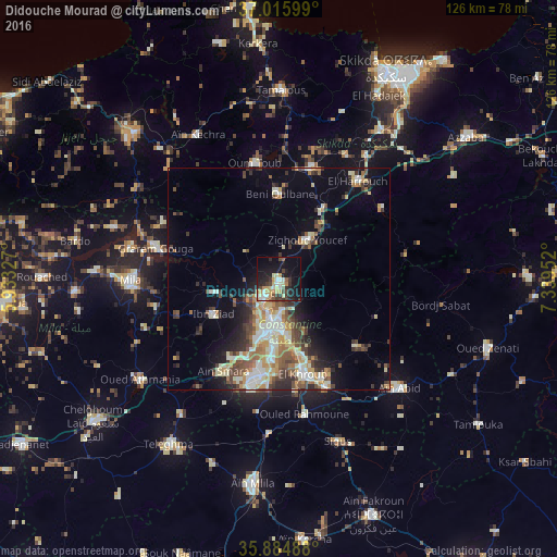
Analysis of Didouche Mourad night lights 2016
Square area 10x10 km:
 3.48%
3.48%90-99
6.04%80-89
6.04%70-79
7.69%60-69
0.92%50-59
2.38%40-49
4.95%30-39
7.69%20-29
8.61%10-19
30.59%0-9
21.61%Square area 50x50 km:
1.91%90-99
3.28%80-89
2.16%70-79
2.48%60-69
1.69%50-59
2.07%40-49
2.8%30-39
2.83%20-29
2.99%10-19
6.56%0-9
71.22%Clear (daylight) street map image can be seen on geolist.org.
Map coordinates:
37° 0' 57.6" North, 5° 55' 59.8" East
36° 27' 9" North, 6° 38' 11" East
35° 53' 5.6" North, 7° 20' 22.3" East
Some cities around Didouche Mourad sort by population:
• Constantine
9.9 km =6.2 mi,  191°
191°
• El Khroub
21.6 km =13.4 mi,  166°
166°
• Mila
33.3 km =20.7 mi,  269°
269°
• Hamma Bouziane
5.8 km =3.6 mi,  218°
218°
• Tamalous
42.8 km =26.6 mi,  0°
0°
• ’Aïn Abid
36.8 km =22.9 mi,  131°
131°
• Aïn Smara
23.9 km =14.9 mi,  210°
210°
• Sidi Mérouane
34.4 km =21.4 mi,  282°
282°
2500401 (p: 25,764)
Sources (retrieved 2019-11-25):
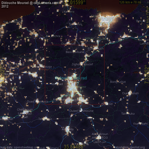
» Earth at Night: Flat Maps 2012, 2016