Hamma Bouziane night lights from space
Night Light of Hamma Bouziane (Constantine) from space (Algeria) Src. Average luminocity for 10x10km area is 57.7692% and for 50x50km: 16.7107%.
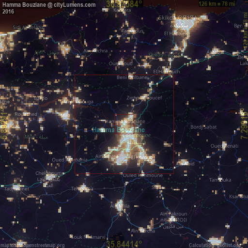
Analysis of Hamma Bouziane night lights 2016
Square area 10x10 km:
 7.87%
7.87%90-99
13.11%80-89
9.44%70-79
17.31%60-69
5.42%50-59
5.77%40-49
5.77%30-39
8.57%20-29
11.54%10-19
12.94%0-9
2.27%Square area 50x50 km:
1.88%90-99
3.44%80-89
2.1%70-79
2.45%60-69
1.62%50-59
2.09%40-49
2.86%30-39
2.72%20-29
3.74%10-19
9.18%0-9
67.91%Clear (daylight) street map image can be seen on geolist.org.
Map coordinates:
36° 58' 33" North, 5° 53' 34.5" East
36° 24' 43.4" North, 6° 35' 45.7" East
35° 50' 38.9" North, 7° 17' 57" East
Some cities around Hamma Bouziane sort by population:
• Constantine
5.5 km =3.4 mi,  162°
162°
• El Khroub
18.7 km =11.6 mi,  152°
152°
• Mila
30 km =18.6 mi,  278°
278°
• Telerghma
39.4 km =24.5 mi,  213°
213°
• ’Aïn Abid
37 km =23 mi,  122°
122°
• Aïn Smara
18.2 km =11.3 mi, 207°
• Didouche Mourad
5.8 km =3.6 mi,  38°
38°
• Sidi Mérouane
32.3 km =20.1 mi,  291°
291°
2494610 (p: 63,012)
Sources (retrieved 2019-11-25):
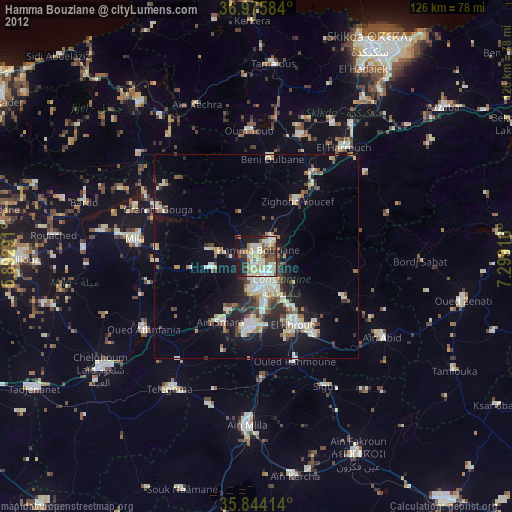
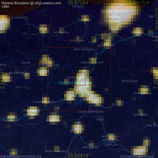
» NASA, Earths city lights 1995
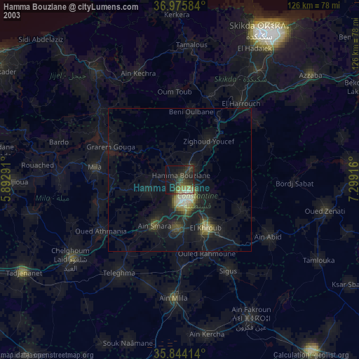
» NASA city lights 2003
» Earth at Night: Flat Maps 2012, 2016