Aïn Smara night lights from space
Night Light of Aïn Smara (Constantine) from space (Algeria) Src. Average luminocity for 10x10km area is 38.6469% and for 50x50km: 18.1502%.
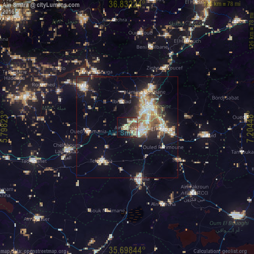
Analysis of Aïn Smara night lights 2016
Square area 10x10 km:
 1.05%
1.05%90-99
8.92%80-89
9.44%70-79
4.55%60-69
2.1%50-59
6.12%40-49
12.59%30-39
5.94%20-29
6.29%10-19
21.68%0-9
21.33%Square area 50x50 km:
2.1%90-99
3.85%80-89
2.31%70-79
2.72%60-69
1.64%50-59
2.14%40-49
2.86%30-39
2.68%20-29
4.58%10-19
10.34%0-9
64.78%Clear (daylight) street map image can be seen on geolist.org.
Map coordinates:
36° 49' 56.1" North, 5° 47' 53.6" East
36° 16' 2.6" North, 6° 30' 4.9" East
35° 41' 54.4" North, 7° 12' 16.1" East
Some cities around Aïn Smara sort by population:
• Constantine
14.9 km =9.3 mi,  43°
43°
• El Khroub
17.2 km =10.7 mi,  91°
91°
• Chelghoum el Aïd
32.2 km =20 mi,  248°
248°
• Mila
29.4 km =18.3 mi,  313°
313°
• Hamma Bouziane
18.2 km =11.3 mi,  27°
27°
• Telerghma
21.3 km =13.2 mi,  218°
218°
• Didouche Mourad
23.9 km =14.9 mi, 30°
• Sidi Mérouane
35.4 km =22 mi,  322°
322°
2507926 (p: 28,968)
Sources (retrieved 2019-11-25):
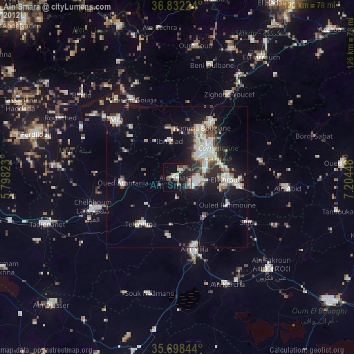
» Earth at Night: Flat Maps 2012, 2016