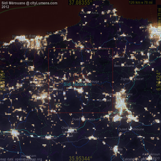
Sidi Mérouane night lights from space
Night Light of Sidi Mérouane (Mila) from space (Algeria) Src. Average luminocity for 10x10km area is 34.0092% and for 50x50km: 12.1108%.
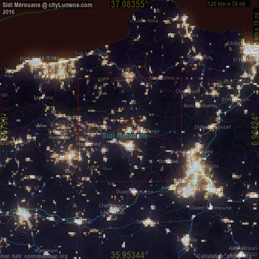
Analysis of Sidi Mérouane night lights 2016
Square area 10x10 km:
 1.1%
1.1%90-99
4.95%80-89
1.28%70-79
7.33%60-69
5.68%50-59
3.11%40-49
6.04%30-39
6.04%20-29
25.64%10-19
38.46%0-9
0.37%Square area 50x50 km:
0.61%90-99
1.32%80-89
0.99%70-79
1.45%60-69
1.26%50-59
1.37%40-49
2.58%30-39
3.28%20-29
3.6%10-19
13.4%0-9
70.14%Clear (daylight) street map image can be seen on geolist.org.
Map coordinates:
37° 5' 0.8" North, 5° 33' 28.8" East
36° 31' 14" North, 6° 15' 40" East
35° 57' 12.4" North, 6° 57' 51.3" East
Some cities around Sidi Mérouane sort by population:
• Constantine
36 km =22.4 mi,  118°
118°
• Chelghoum el Aïd
40.7 km =25.3 mi,  192°
192°
• Mila
7.8 km =4.8 mi,  177°
177°
• Hamma Bouziane
32.3 km =20.1 mi,  111°
111°
• Telerghma
45.7 km =28.4 mi,  169°
169°
• Rouached
20.7 km =12.9 mi,  250°
250°
• Aïn Smara
35.4 km =22 mi,  142°
142°
• Didouche Mourad
34.4 km =21.4 mi,  102°
102°
2480198 (p: 25,129)
Sources (retrieved 2019-11-25):
» Earth at Night: Flat Maps 2012, 2016