Aïn Bessem night lights from space
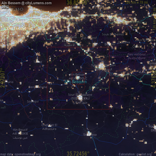
Night Light of Aïn Bessem (Bouira) from space (Algeria) Src. Average luminocity for 10x10km area is 17.3759% and for 50x50km: 10.3719%.
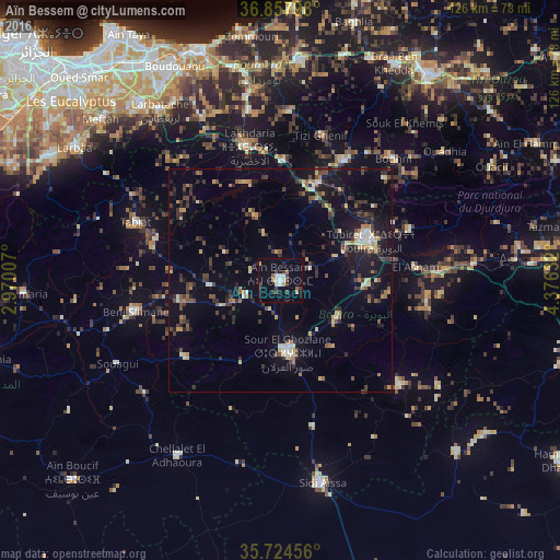
Analysis of Aïn Bessem night lights 2016
Square area 10x10 km:
 3.15%
3.15%90-99
2.45%80-89
0%70-79
1.57%60-69
2.45%50-59
1.57%40-49
3.32%30-39
2.27%20-29
2.27%10-19
8.39%0-9
72.55%Square area 50x50 km:
0.5%90-99
1.02%80-89
1.29%70-79
1%60-69
1.24%50-59
0.9%40-49
2.09%30-39
3.14%20-29
2.42%10-19
7.3%0-9
79.1%Clear (daylight) street map image can be seen on geolist.org.
Map coordinates:
36° 51' 28.7" North, 2° 58' 12.3" East
36° 17' 36" North, 3° 40' 23.5" East
35° 43' 28.4" North, 4° 22' 34.8" East
Some cities around Aïn Bessem sort by population:
• Lakhdaria
31 km =19.3 mi,  346°
346°
• Boghni
37.3 km =23.2 mi,  42°
42°
• Bouïra
22.4 km =13.9 mi,  66°
66°
• Sour el Ghozlane
16.3 km =10.1 mi,  174°
174°
• Draa el Mizan
30.6 km =19 mi,  27°
27°
• Tizi Gheniff
34 km =21.1 mi,  15°
15°
• Chabet el Ameur
38.3 km =23.8 mi,  2°
2°
• Beni Amrane
42.3 km =26.3 mi, 350°
2508268 (p: 29,461)
Sources (retrieved 2019-11-25):
» Earth at Night: Flat Maps 2012, 2016