Bouïra night lights from space
Night Light of Bouïra (Bouira) from space (Algeria) Src. Average luminocity for 10x10km area is 36.3706% and for 50x50km: 12.1305%.
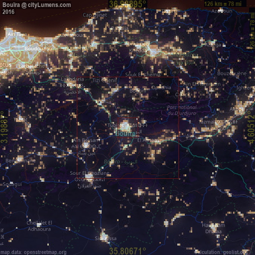
Analysis of Bouïra night lights 2016
Square area 10x10 km:
 5.24%
5.24%90-99
5.42%80-89
7.52%70-79
3.85%60-69
3.85%50-59
1.05%40-49
2.62%30-39
9.27%20-29
8.39%10-19
47.38%0-9
5.42%Square area 50x50 km:
0.57%90-99
1.14%80-89
1.4%70-79
1.24%60-69
1.39%50-59
1.32%40-49
2.44%30-39
3.9%20-29
2.27%10-19
11.12%0-9
73.22%Clear (daylight) street map image can be seen on geolist.org.
Map coordinates:
36° 56' 20.2" North, 3° 11' 55.9" East
36° 22' 29.6" North, 3° 54' 7.2" East
35° 48' 24.2" North, 4° 36' 18.4" East
Some cities around Bouïra sort by population:
• Boghni
19.2 km =11.9 mi,  13°
13°
• Sour el Ghozlane
31.6 km =19.6 mi,  216°
216°
• Draa el Mizan
19 km =11.8 mi,  341°
341°
• Beni Douala
31.6 km =19.6 mi,  30°
30°
• Aïn Bessem
22.4 km =13.9 mi,  246°
246°
• Tizi Gheniff
26.3 km =16.3 mi,  334°
334°
• Tirmitine
31.8 km =19.8 mi, 12°
• Tizi-n-Tleta
23.5 km =14.6 mi,  36°
36°
2502958 (p: 52,500)
Sources (retrieved 2019-11-25):
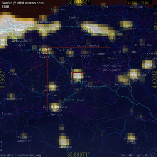
» NASA, Earths city lights 1995
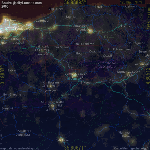
» NASA city lights 2003
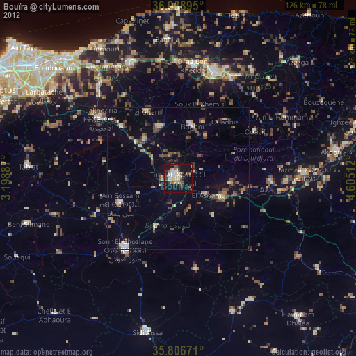
» Earth at Night: Flat Maps 2012, 2016