Mansourah night lights from space
Night Light of Mansourah (Bordj Bou Arréridj) from space (Algeria) Src. Average luminocity for 10x10km area is 6.1136% and for 50x50km: 6.7817%.
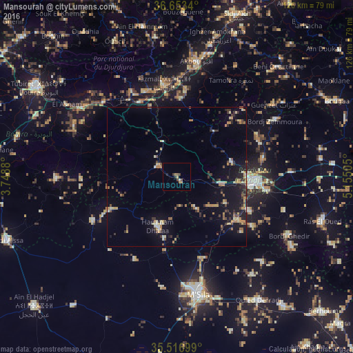
Analysis of Mansourah night lights 2016
Square area 10x10 km:
 0%
0%90-99
0.73%80-89
0.73%70-79
1.1%60-69
1.1%50-59
0.92%40-49
2.01%30-39
1.28%20-29
0.92%10-19
0%0-9
91.21%Square area 50x50 km:
0.14%90-99
0.79%80-89
0.84%70-79
1.18%60-69
0.93%50-59
0.69%40-49
0.96%30-39
1.68%20-29
1.2%10-19
5.26%0-9
86.32%Clear (daylight) street map image can be seen on geolist.org.
Map coordinates:
36° 39' 12.2" North, 3° 44' 55.7" East
36° 5' 14.1" North, 4° 27' 6.9" East
35° 31' 1.2" North, 5° 9' 18.2" East
Some cities around Mansourah sort by population:
• Bordj Bou Arreridj
27.8 km =17.3 mi,  93°
93°
• El Achir
16 km =9.9 mi,  99°
99°
• M’Sila
43.2 km =26.8 mi,  169°
169°
• Akbou
41.8 km =26 mi,  10°
10°
• Melouza
26.7 km =16.6 mi,  243°
243°
• Chorfa
32.9 km =20.4 mi,  339°
339°
• Bordj Zemoura
41.9 km =26 mi,  60°
60°
• Ighram
42 km =26.1 mi, 6°
2490180 (p: 22,117)
Sources (retrieved 2019-11-25):
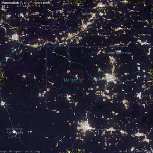
» Earth at Night: Flat Maps 2012, 2016