Melouza night lights from space
Night Light of Melouza (Bordj Bou Arréridj) from space (Algeria) Src. Average luminocity for 10x10km area is 14.1868% and for 50x50km: 4.4144%.
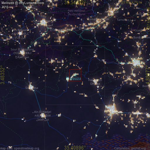
Analysis of Melouza night lights 2016
Square area 10x10 km:
 0.55%
0.55%90-99
2.01%80-89
2.75%70-79
3.48%60-69
1.47%50-59
1.47%40-49
0.73%30-39
0.55%20-29
0.18%10-19
4.76%0-9
82.05%Square area 50x50 km:
0.2%90-99
0.58%80-89
0.68%70-79
0.68%60-69
0.6%50-59
0.45%40-49
0.72%30-39
0.82%20-29
0.36%10-19
1.24%0-9
93.68%Clear (daylight) street map image can be seen on geolist.org.
Map coordinates:
36° 32' 48.9" North, 3° 29' 0.7" East
35° 58' 48" North, 4° 11' 11.9" East
35° 24' 32.3" North, 4° 53' 23.2" East
Some cities around Melouza sort by population:
• El Achir
40.7 km =25.3 mi,  76°
76°
• M’Sila
44.2 km =27.5 mi,  133°
133°
• Sidi Aïssa
38.8 km =24.1 mi,  254°
254°
• Bouïra
50.8 km =31.6 mi,  329°
329°
• Sour el Ghozlane
48.3 km =30 mi,  292°
292°
• ‘Aïn el Hadjel
44.1 km =27.4 mi,  218°
218°
• Mansourah
26.7 km =16.6 mi,  63°
63°
• Chorfa
44.6 km =27.7 mi,  16°
16°
2488202 (p: 25,701)
Sources (retrieved 2019-11-25):
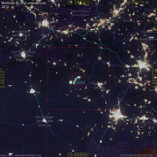
» Earth at Night: Flat Maps 2012, 2016