Barika night lights from space
Night Light of Barika (Batna) from space (Algeria) Src. Average luminocity for 10x10km area is 44.5769% and for 50x50km: 7.0341%.
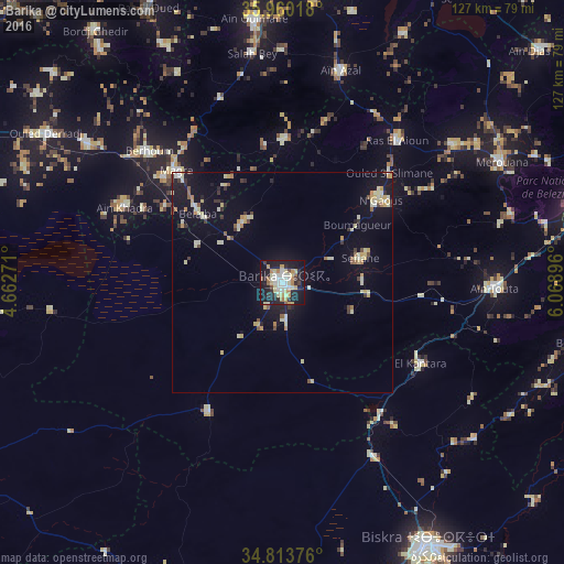
Analysis of Barika night lights 2016
Square area 10x10 km:
 7.88%
7.88%90-99
8.24%80-89
10.26%70-79
6.23%60-69
5.13%50-59
1.83%40-49
2.2%30-39
3.66%20-29
12.82%10-19
38.64%0-9
3.11%Square area 50x50 km:
0.4%90-99
1.38%80-89
1.51%70-79
0.88%60-69
0.61%50-59
0.49%40-49
0.49%30-39
0.79%20-29
1%10-19
6.01%0-9
86.46%Clear (daylight) street map image can be seen on geolist.org.
Map coordinates:
35° 57' 36.6" North, 4° 39' 45.8" East
35° 23' 20.4" North, 5° 21' 57" East
34° 48' 49.5" North, 6° 4' 8.3" East
Some cities around Barika sort by population:
• Biskra
68.4 km =42.5 mi,  151°
151°
• Aïn Touta
48.4 km =30.1 mi,  91°
91°
• Râs el Oued
68.7 km =42.7 mi,  333°
333°
• Merouana
56.3 km =35 mi,  61°
61°
• Râs el Aïoun
40.5 km =25.2 mi,  38°
38°
• Bordj Ghdir
70.9 km =44.1 mi,  323°
323°
• Salah Bey
52.2 km =32.4 mi,  352°
352°
• Boumagueur
21.3 km =13.2 mi,  52°
52°
2505629 (p: 98,846)
Sources (retrieved 2019-11-25):
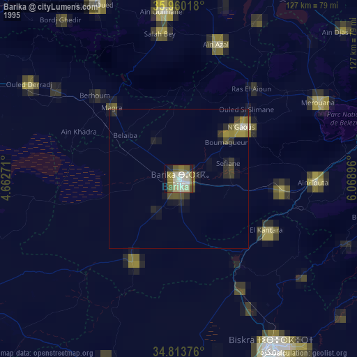
» NASA, Earths city lights 1995
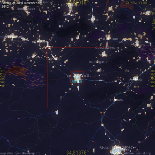
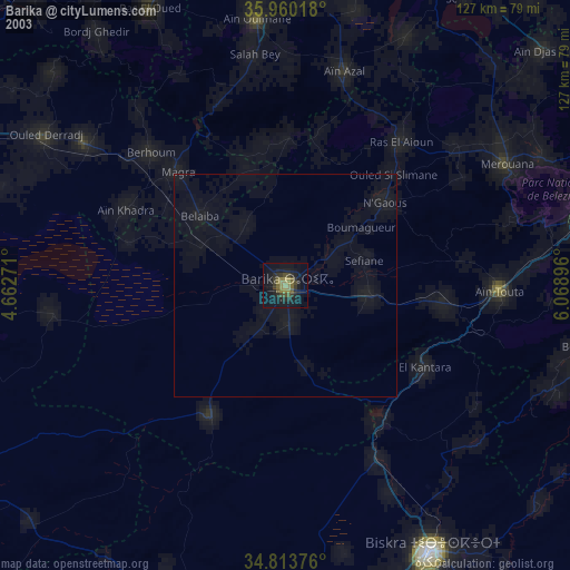
» NASA city lights 2003
» Earth at Night: Flat Maps 2012, 2016