Bordj Bou Arreridj night lights from space
Night Light of Bordj Bou Arreridj (Bordj Bou Arréridj) from space (Algeria) Src. Average luminocity for 10x10km area is 58.5147% and for 50x50km: 12.4519%.
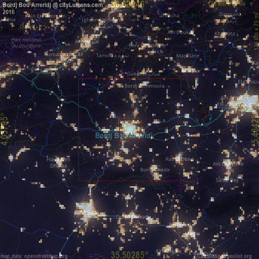
Analysis of Bordj Bou Arreridj night lights 2016
Square area 10x10 km:
 12.27%
90-99
14.47%80-89
8.97%70-79
13.55%60-69
2.2%50-59
1.28%40-49
4.4%30-39
7.51%20-29
28.75%10-19
6.59%0-9
0%Square area 50x50 km:
0.8%90-99
1.88%80-89
1.32%70-79
2.25%60-69
1.45%50-59
0.76%40-49
1.46%30-39
2.62%20-29
3.1%10-19
10.67%0-9
73.7%Clear (daylight) street map image can be seen on geolist.org.
Map coordinates:
36° 38' 22.1" North, 4° 3' 28.6" East
36° 4' 23.6" North, 4° 45' 39.9" East
35° 30' 10.3" North, 5° 27' 51.1" East
Some cities around Bordj Bou Arreridj sort by population:
• El Achir
12.1 km =7.5 mi,  265°
265°
• M’Sila
45.4 km =28.2 mi,  205°
205°
• Akbou
47.3 km =29.4 mi,  334°
334°
• Râs el Oued
28.2 km =17.5 mi,  120°
120°
• Bougaa
41.2 km =25.6 mi,  45°
45°
• Mansourah
27.8 km =17.3 mi, 273°
• Chorfa
50.7 km =31.5 mi,  309°
309°
• Ighram
49 km =30.4 mi, 332°
2503701 (p: 168,346)
Sources (retrieved 2019-11-25):
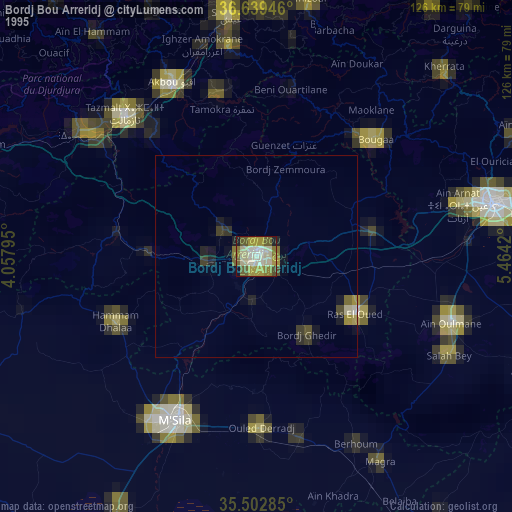
» NASA, Earths city lights 1995
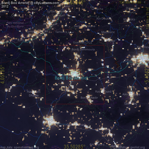
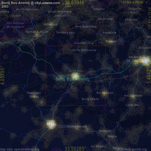
» NASA city lights 2003
» Earth at Night: Flat Maps 2012, 2016