Aïn Touta night lights from space
Night Light of Aïn Touta (Batna) from space (Algeria) Src. Average luminocity for 10x10km area is 25.1337% and for 50x50km: 8.5079%.
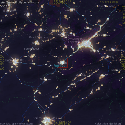
Analysis of Aïn Touta night lights 2016
Square area 10x10 km:
 3.48%
3.48%90-99
4.95%80-89
4.21%70-79
4.03%60-69
0.92%50-59
0.92%40-49
3.11%30-39
1.1%20-29
4.21%10-19
30.59%0-9
42.49%Square area 50x50 km:
0.77%90-99
1.55%80-89
1.38%70-79
0.83%60-69
0.58%50-59
0.67%40-49
1.37%30-39
1.83%20-29
1.64%10-19
4.59%0-9
84.78%Clear (daylight) street map image can be seen on geolist.org.
Map coordinates:
35° 56' 52.8" North, 5° 11' 48.8" East
35° 22' 36.3" North, 5° 54' 0" East
34° 48' 5.1" North, 6° 36' 11.3" East
Some cities around Aïn Touta sort by population:
• Biskra
60.6 km =37.7 mi,  194°
194°
• Batna
31.8 km =19.8 mi,  51°
51°
• Barika
48.4 km =30.1 mi,  271°
271°
• Merouana
28.3 km =17.6 mi,  2°
2°
• Tazoult-Lambese
34.7 km =21.6 mi,  70°
70°
• Arris
42.6 km =26.5 mi,  107°
107°
• Râs el Aïoun
40.3 km =25 mi,  325°
325°
• Boumagueur
34.6 km =21.5 mi,  294°
294°
2507877 (p: 72,280)
Sources (retrieved 2019-11-25):
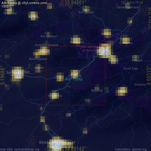
» NASA, Earths city lights 1995
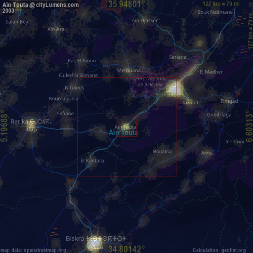
» NASA city lights 2003
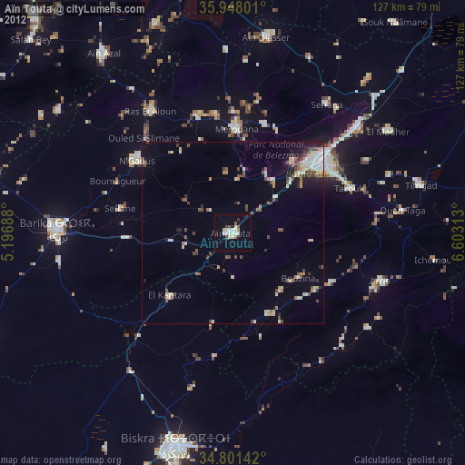
» Earth at Night: Flat Maps 2012, 2016