Merouana night lights from space
Night Light of Merouana (Batna) from space (Algeria) Src. Average luminocity for 10x10km area is 28.9476% and for 50x50km: 10.7722%.
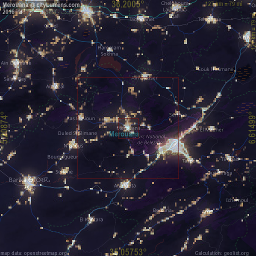
Analysis of Merouana night lights 2016
Square area 10x10 km:
 2.27%
2.27%90-99
4.37%80-89
3.85%70-79
5.59%60-69
0.7%50-59
5.07%40-49
2.8%30-39
4.2%20-29
8.92%10-19
40.03%0-9
22.2%Square area 50x50 km:
1.01%90-99
1.66%80-89
1.2%70-79
1.52%60-69
0.79%50-59
1.05%40-49
1.89%30-39
2.31%20-29
2.2%10-19
8.12%0-9
78.23%Clear (daylight) street map image can be seen on geolist.org.
Map coordinates:
36° 12' 1.8" North, 5° 12' 31.5" East
35° 37' 51.8" North, 5° 54' 42.7" East
35° 3' 27.1" North, 6° 36' 54" East
Some cities around Merouana sort by population:
• Batna
25.1 km =15.6 mi,  109°
109°
• Barika
56.3 km =35 mi,  241°
241°
• Aïn Touta
28.3 km =17.6 mi,  182°
182°
• Tazoult-Lambese
35.7 km =22.2 mi,  117°
117°
• Arris
57.2 km =35.5 mi,  136°
136°
• Râs el Aïoun
24.5 km =15.2 mi,  281°
281°
• Salah Bey
61.3 km =38.1 mi,  293°
293°
• Boumagueur
35.4 km =22 mi,  246°
246°
2487882 (p: 47,646)
Sources (retrieved 2019-11-25):
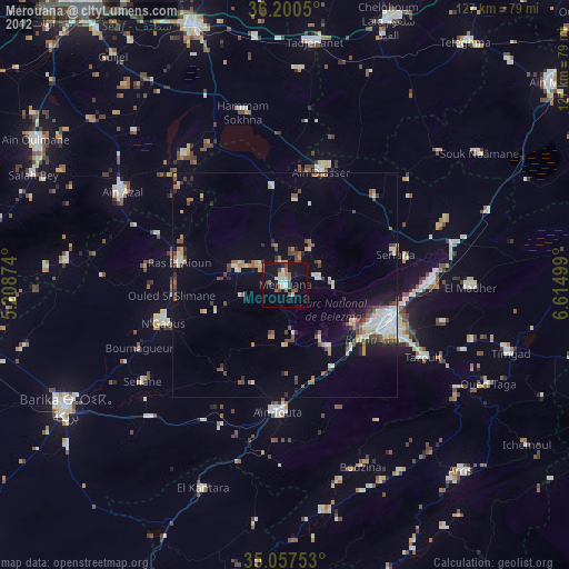
» Earth at Night: Flat Maps 2012, 2016