Ouargla night lights from space
Night Light of Ouargla from space (Algeria) Src. Average luminocity for 10x10km area is 69.5297% and for 50x50km: 8.1048%.
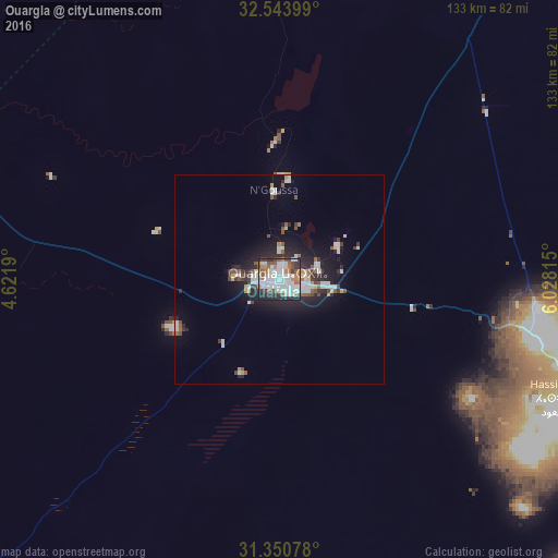
Analysis of Ouargla night lights 2016
Square area 10x10 km:
 24.13%
90-99
19.58%80-89
3.15%70-79
3.32%60-69
10.66%50-59
8.57%40-49
5.94%30-39
8.57%20-29
14.86%10-19
1.22%0-9
0%Square area 50x50 km:
1.9%90-99
1.66%80-89
0.4%70-79
0.5%60-69
0.62%50-59
1.03%40-49
0.93%30-39
1.03%20-29
2.91%10-19
5.1%0-9
83.92%Clear (daylight) street map image can be seen on geolist.org.
Map coordinates:
32° 32' 38.4" North, 4° 37' 18.8" East
31° 56' 57.6" North, 5° 19' 30.1" East
31° 21' 2.8" North, 6° 1' 41.3" East
Some cities around Ouargla sort by population:
• Rouissat
3.7 km =2.3 mi,  139°
139°
• Hassi Messaoud
76.7 km =47.7 mi,  112°
112°
• Metlili Chaamba
163.2 km =101.4 mi,  282°
282°
• Touggourt
145.7 km =90.5 mi,  28°
28°
• Tebesbest
148 km =92 mi, 28°
• El Hadjira
75.9 km =47.2 mi,  13°
13°
• Megarine
155.5 km =96.6 mi, 27°
• Taïbet
160.9 km =100 mi,  38°
38°
2485801 (p: 129,402)
Sources (retrieved 2019-11-25):
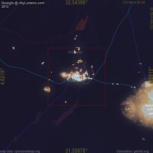
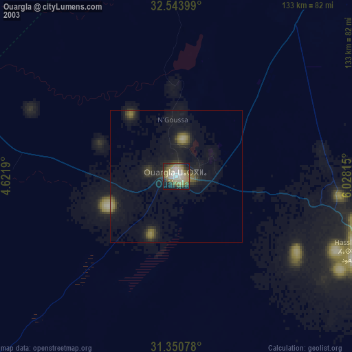
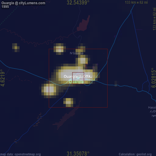
» NASA, Earths city lights 1995
» NASA city lights 2003
» Earth at Night: Flat Maps 2012, 2016