Aïn Fakroun night lights from space
Night Light of Aïn Fakroun (Oum el Bouaghi) from space (Algeria) Src. Average luminocity for 10x10km area is 14.4853% and for 50x50km: 4.4469%.
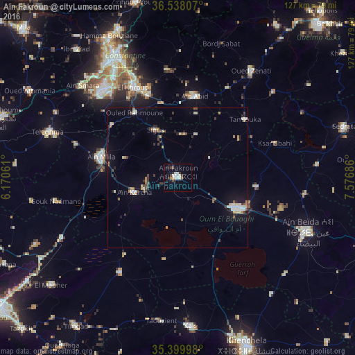
Analysis of Aïn Fakroun night lights 2016
Square area 10x10 km:
 2.01%
2.01%90-99
4.58%80-89
0%70-79
1.47%60-69
0%50-59
0.73%40-49
2.93%30-39
2.38%20-29
2.93%10-19
4.58%0-9
78.39%Square area 50x50 km:
0.47%90-99
0.85%80-89
0.43%70-79
0.59%60-69
0.32%50-59
0.24%40-49
0.7%30-39
0.7%20-29
0.69%10-19
2.32%0-9
92.68%Clear (daylight) street map image can be seen on geolist.org.
Map coordinates:
36° 32' 17.1" North, 6° 10' 14.2" East
35° 58' 15.9" North, 6° 52' 25.5" East
35° 23' 59.9" North, 7° 34' 36.7" East
Some cities around Aïn Fakroun sort by population:
• Constantine
49.6 km =30.8 mi,  332°
332°
• Aïn Beïda
50.6 km =31.4 mi,  112°
112°
• Oum el Bouaghi
24.1 km =15 mi,  116°
116°
• El Khroub
36.3 km =22.6 mi, 333°
• Telerghma
49.4 km =30.7 mi,  289°
289°
• Aïn Kercha
16.9 km =10.5 mi,  252°
252°
• ’Aïn Abid
29.7 km =18.5 mi,  12°
12°
• Aïn Smara
46.9 km =29.1 mi,  314°
314°
2508102 (p: 68,433)
Sources (retrieved 2019-11-25):
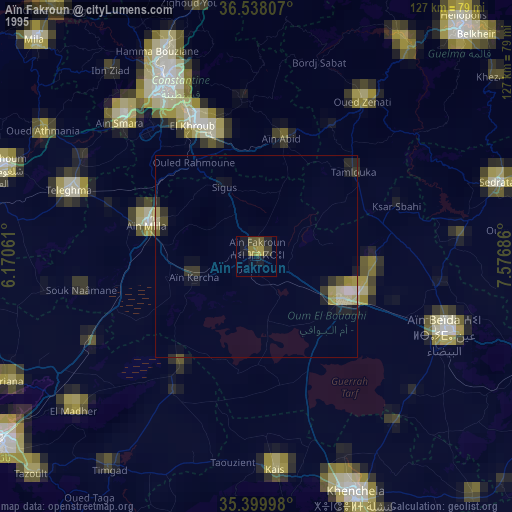
» NASA, Earths city lights 1995
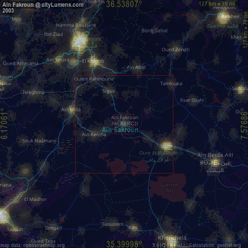
» NASA city lights 2003
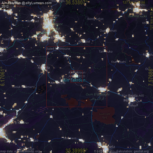
» Earth at Night: Flat Maps 2012, 2016