Dar el Beïda night lights from space
Night Light of Dar el Beïda (Algiers) from space (Algeria) Src. Average luminocity for 10x10km area is 92.0659% and for 50x50km: 42.7394%.
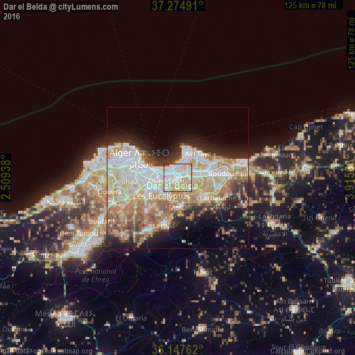
Analysis of Dar el Beïda night lights 2016
Square area 10x10 km:
 38.46%
90-99
28.57%80-89
16.85%70-79
14.29%60-69
0%50-59
0.37%40-49
1.28%30-39
0.18%20-29
0%10-19
0%0-9
0%Square area 50x50 km:
10.7%90-99
9.71%80-89
5.36%70-79
7.73%60-69
6.72%50-59
3.39%40-49
3.44%30-39
3.71%20-29
6.31%10-19
8.67%0-9
34.27%Clear (daylight) street map image can be seen on geolist.org.
Map coordinates:
37° 16' 29.7" North, 2° 30' 33.8" East
36° 42' 48" North, 3° 12' 45" East
36° 8' 51.4" North, 3° 54' 56.3" East
Some cities around Dar el Beïda sort by population:
• Algiers
11.3 km =7 mi,  280°
280°
• Bab Ezzouar
3 km =1.9 mi,  298°
298°
• Bordj el Kiffan
4.3 km =2.7 mi,  335°
335°
• Baraki
11.6 km =7.2 mi,  243°
243°
• Meftah
10.4 km =6.5 mi,  175°
175°
• Reghaïa
11.7 km =7.3 mi,  77°
77°
• Aïn Taya
11.1 km =6.9 mi,  36°
36°
• Rouiba
6.7 km =4.2 mi,  65°
65°
2500889 (p: 37,311)
Sources (retrieved 2019-11-25):
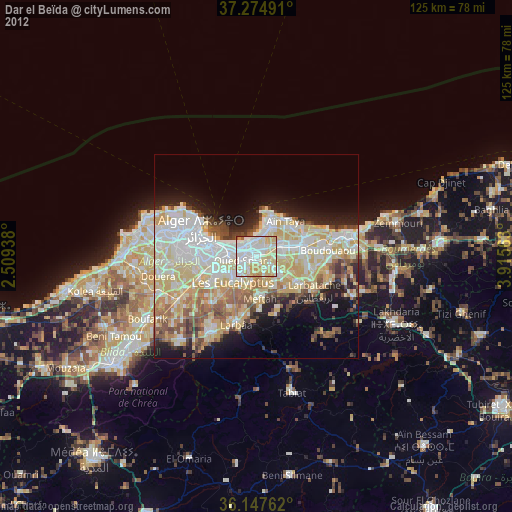
» Earth at Night: Flat Maps 2012, 2016