Meftah night lights from space
Night Light of Meftah (Blida) from space (Algeria) Src. Average luminocity for 10x10km area is 61.5256% and for 50x50km: 44.2953%.
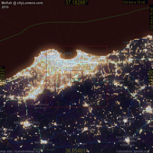

Analysis of Meftah night lights 2016
Square area 10x10 km:
 4.21%
4.21%90-99
5.49%80-89
8.61%70-79
15.57%60-69
31.14%50-59
7.14%40-49
9.52%30-39
4.95%20-29
12.27%10-19
1.1%0-9
0%Square area 50x50 km:
10.71%90-99
9.79%80-89
5.44%70-79
7.87%60-69
7.04%50-59
3.42%40-49
3.87%30-39
4.69%20-29
6.96%10-19
9.4%0-9
30.81%Clear (daylight) street map image can be seen on geolist.org.
Map coordinates:
37° 10' 57.6" North, 2° 31' 9.7" East
36° 37' 13.4" North, 3° 13' 20.9" East
36° 3' 14.4" North, 3° 55' 32.2" East
Some cities around Meftah sort by population:
• Bab Ezzouar
12.3 km =7.6 mi,  343°
343°
• Baraki
12.4 km =7.7 mi,  294°
294°
• Larbaâ
8.7 km =5.4 mi,  224°
224°
• Sidi Moussa
12.1 km =7.5 mi,  262°
262°
• Khemis el Khechna
10.2 km =6.3 mi,  71°
71°
• Dar el Beïda
10.4 km =6.5 mi,  355°
355°
• Rouiba
14.1 km =8.8 mi,  21°
21°
• Arbatache
13.4 km =8.3 mi,  81°
81°
2488722 (p: 59,990)
Sources (retrieved 2019-11-25):
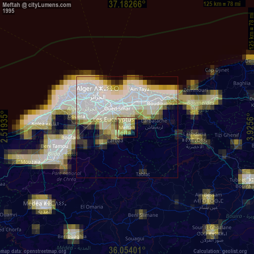
» NASA, Earths city lights 1995
» NASA city lights 2003
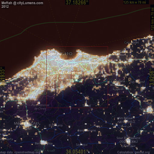
» Earth at Night: Flat Maps 2012, 2016