Reghaïa night lights from space
Night Light of Reghaïa (Boumerdes) from space (Algeria) Src. Average luminocity for 10x10km area is 89.7465% and for 50x50km: 35.2009%.
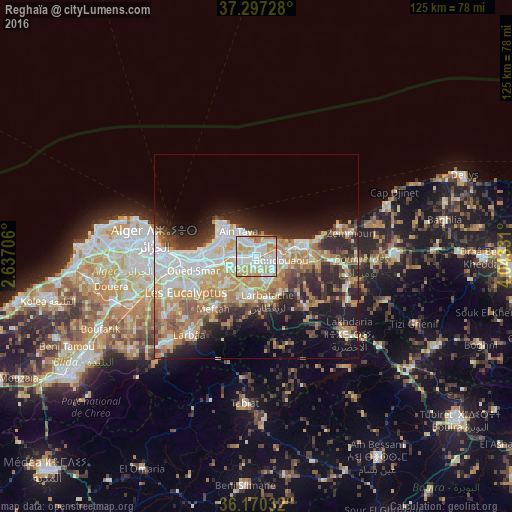
Analysis of Reghaïa night lights 2016
Square area 10x10 km:
 29.37%
90-99
32.87%80-89
11.19%70-79
19.06%60-69
6.82%50-59
0%40-49
0.7%30-39
0%20-29
0%10-19
0%0-9
0%Square area 50x50 km:
7.23%90-99
7.23%80-89
4.09%70-79
6.56%60-69
5.94%50-59
3.07%40-49
3.24%30-39
4.73%20-29
8.03%10-19
10.51%0-9
39.36%Clear (daylight) street map image can be seen on geolist.org.
Map coordinates:
37° 17' 50.2" North, 2° 38' 13.4" East
36° 44' 9.1" North, 3° 20' 24.6" East
36° 10' 13.2" North, 4° 2' 35.9" East
Some cities around Reghaïa sort by population:
• Boumerdas
12.7 km =7.9 mi,  74°
74°
• Khemis el Khechna
9.6 km =6 mi,  185°
185°
• Boudouaou
6.3 km =3.9 mi,  98°
98°
• Dar el Beïda
11.7 km =7.3 mi,  257°
257°
• Aïn Taya
8 km =5 mi,  323°
323°
• Rouiba
5.3 km =3.3 mi,  272°
272°
• Arbatache
11.3 km =7 mi,  165°
165°
• Ouled Moussa
6.2 km =3.9 mi,  157°
157°
2483757 (p: 54,962)
Sources (retrieved 2019-11-25):
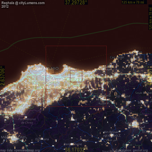
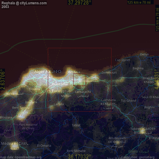
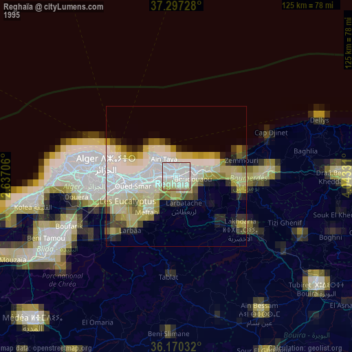
» NASA, Earths city lights 1995
» NASA city lights 2003
» Earth at Night: Flat Maps 2012, 2016