Brezina night lights from space
Night Light of Brezina (El Bayadh) from space (Algeria) Src. Average luminocity for 10x10km area is 3.685% and for 50x50km: 0.1852%.
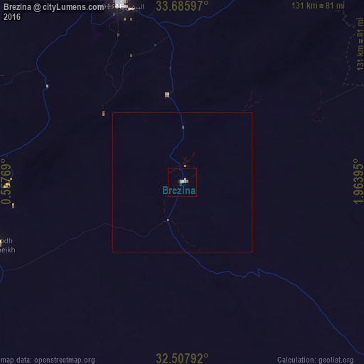
Analysis of Brezina night lights 2016
Square area 10x10 km:
 0.73%
0.73%90-99
0%80-89
0.92%70-79
1.28%60-69
0.73%50-59
0%40-49
0%30-39
0%20-29
0.73%10-19
0.73%0-9
94.87%Square area 50x50 km:
0.03%90-99
0%80-89
0.04%70-79
0.05%60-69
0.03%50-59
0.03%40-49
0.04%30-39
0.01%20-29
0.03%10-19
0.03%0-9
99.72%Clear (daylight) street map image can be seen on geolist.org.
Map coordinates:
33° 41' 9.5" North, 0° 33' 27.7" East
33° 5' 56.1" North, 1° 15' 39" East
32° 30' 28.5" North, 1° 57' 50.2" East
Some cities around Brezina sort by population:
• Laghouat
168 km =104.4 mi,  62°
62°
• Aflou
137 km =85.1 mi,  34°
34°
• El Bayadh
68.7 km =42.7 mi,  340°
340°
• Aïn Sefra
176.4 km =109.6 mi,  257°
257°
• El Abiodh Sidi Cheikh
70.3 km =43.7 mi,  250°
250°
• El Idrissia
190.1 km =118.1 mi,  38°
38°
• ’Aïn Deheb
195.6 km =121.5 mi,  7°
7°
• Naama
148 km =92 mi,  277°
277°
2502034 (p: 19,084)
Sources (retrieved 2019-11-25):
» Earth at Night: Flat Maps 2012, 2016