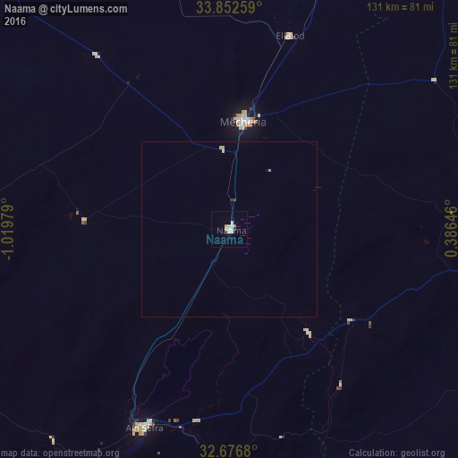
Naama night lights from space
Night Light of Naama from space (Algeria) Src. Average luminocity for 10x10km area is 8.1818% and for 50x50km: 0.4885%.
Analysis of Naama night lights 2016
Square area 10x10 km:
 0.87%
0.87%90-99
1.92%80-89
2.27%70-79
1.57%60-69
0.35%50-59
0%40-49
0%30-39
0.17%20-29
1.22%10-19
0%0-9
91.61%Square area 50x50 km:
0.04%90-99
0.08%80-89
0.17%70-79
0.1%60-69
0.01%50-59
0%40-49
0%30-39
0.06%20-29
0.05%10-19
0.03%0-9
99.46%Clear (daylight) street map image can be seen on geolist.org.
Map coordinates:
33° 51' 9.3" North, 1° 1' 11.2" West
33° 16' 0" North, 0° 19' 0" West
32° 40' 36.5" North, 0° 23' 11.3" East
Some cities around Naama sort by population:
• El Bayadh
132.3 km =82.2 mi,  69°
69°
• Aïn Sefra
62.6 km =38.9 mi,  203°
203°
• Sebdou
178.8 km =111.1 mi,  328°
328°
• El Abiodh Sidi Cheikh
90.7 km =56.4 mi,  117°
117°
• Bouarfa, MA
173.9 km =108.1 mi,  242°
242°
• Brezina
148 km =92 mi,  97°
97°
• ’Aïn el Hadjar
171.2 km =106.4 mi,  14°
14°
• Figuig (Centre), MA
154.4 km =95.9 mi,  213°
213°
2486523 (p: 8,390)
Sources (retrieved 2019-11-25):
» Earth at Night: Flat Maps 2012, 2016