El Bayadh night lights from space
Night Light of El Bayadh from space (Algeria) Src. Average luminocity for 10x10km area is 27.8846% and for 50x50km: 1.4789%.
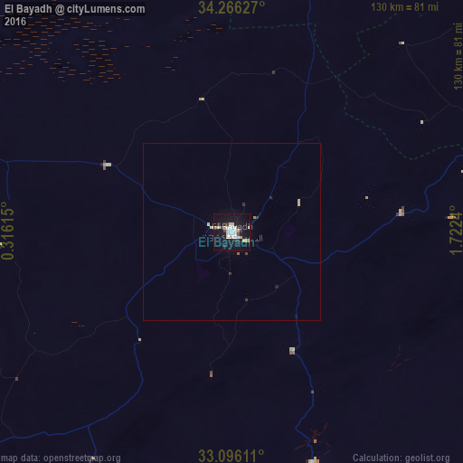
Analysis of El Bayadh night lights 2016
Square area 10x10 km:
 5.31%
5.31%90-99
5.68%80-89
5.31%70-79
3.85%60-69
0%50-59
0%40-49
1.47%30-39
3.48%20-29
3.11%10-19
38.1%0-9
33.7%Square area 50x50 km:
0.21%90-99
0.22%80-89
0.35%70-79
0.17%60-69
0.03%50-59
0.03%40-49
0.08%30-39
0.21%20-29
0.2%10-19
1.55%0-9
96.95%Clear (daylight) street map image can be seen on geolist.org.
Map coordinates:
34° 15' 58.6" North, 0° 18' 58.1" East
33° 40' 59.4" North, 1° 1' 9.4" East
33° 5' 46" North, 1° 43' 20.6" East
Some cities around El Bayadh sort by population:
• Saïda
150.4 km =93.5 mi,  327°
327°
• Aflou
110.8 km =68.8 mi,  64°
64°
• Frenda
153.7 km =95.5 mi,  1°
1°
• El Abiodh Sidi Cheikh
98.2 km =61 mi,  206°
206°
• ’Aïn Deheb
137.7 km =85.6 mi,  20°
20°
• Brezina
68.7 km =42.7 mi,  160°
160°
• ’Aïn el Hadjar
144.1 km =89.5 mi, 326°
• Naama
132.3 km =82.2 mi,  249°
249°
2498543 (p: 64,632)
Sources (retrieved 2019-11-25):
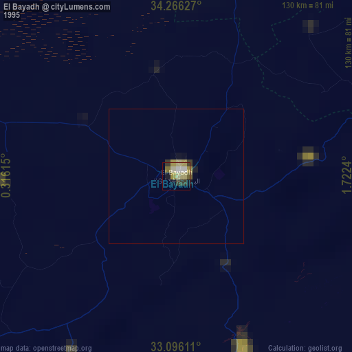
» NASA, Earths city lights 1995
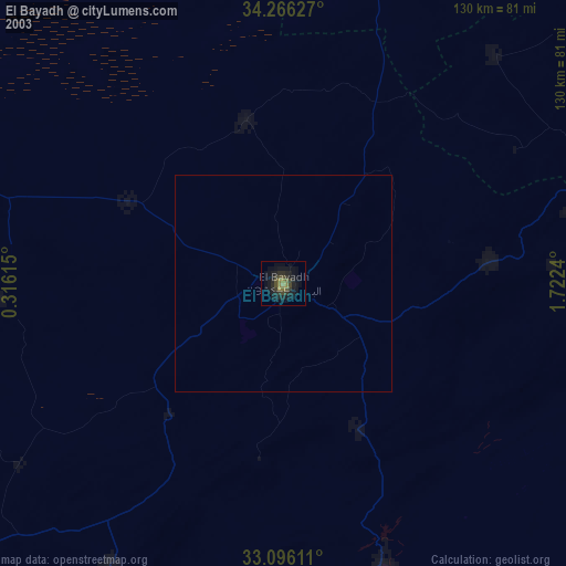
» NASA city lights 2003
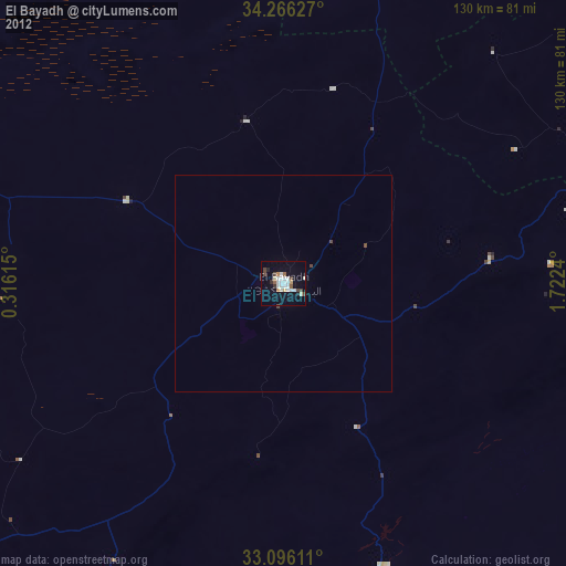
» Earth at Night: Flat Maps 2012, 2016