Bougara night lights from space
Night Light of Bougara (Blida) from space (Algeria) Src. Average luminocity for 10x10km area is 52.7473% and for 50x50km: 43.529%.
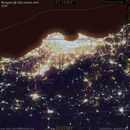
Analysis of Bougara night lights 2016
Square area 10x10 km:
 2.75%
2.75%90-99
6.04%80-89
7.88%70-79
7.14%60-69
18.68%50-59
12.45%40-49
14.1%30-39
9.89%20-29
8.61%10-19
12.09%0-9
0.37%Square area 50x50 km:
10.04%90-99
9.66%80-89
6.37%70-79
8.46%60-69
7.76%50-59
4.28%40-49
3.7%30-39
3.63%20-29
3.53%10-19
5.71%0-9
36.85%Clear (daylight) street map image can be seen on geolist.org.
Map coordinates:
37° 6' 16.6" North, 2° 22' 40.3" East
36° 32' 30.4" North, 3° 4' 51.6" East
35° 58' 29.3" North, 3° 47' 2.8" East
Some cities around Bougara sort by population:
• Baraki
13.9 km =8.6 mi,  5°
5°
• Larbaâ
7 km =4.3 mi,  68°
68°
• Meftah
15.4 km =9.6 mi,  55°
55°
• Boufarik
15.5 km =9.6 mi,  283°
283°
• Sidi Moussa
7.2 km =4.5 mi,  4°
4°
• Souma
15.9 km =9.9 mi,  260°
260°
• Bouinan
8 km =5 mi, 261°
• Chebli
7.5 km =4.7 mi,  301°
301°
2503147 (p: 63,155)
Sources (retrieved 2019-11-25):
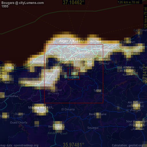
» NASA, Earths city lights 1995
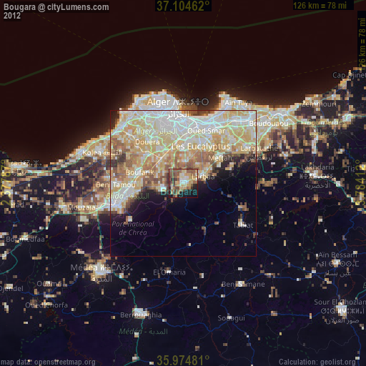
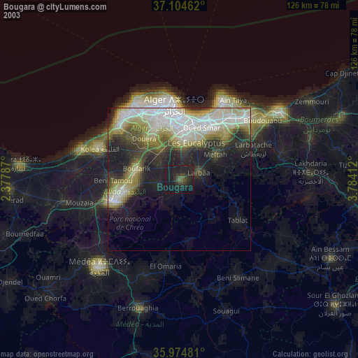
» NASA city lights 2003
» Earth at Night: Flat Maps 2012, 2016