Boufarik night lights from space
Night Light of Boufarik (Blida) from space (Algeria) Src. Average luminocity for 10x10km area is 69.4194% and for 50x50km: 44.3341%.
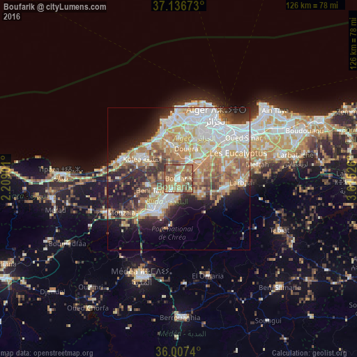
Analysis of Boufarik night lights 2016
Square area 10x10 km:
 5.13%
5.13%90-99
11.17%80-89
10.81%70-79
13.92%60-69
28.75%50-59
20.88%40-49
8.06%30-39
1.28%20-29
0%10-19
0%0-9
0%Square area 50x50 km:
10%90-99
9.21%80-89
5.96%70-79
6.84%60-69
8.47%50-59
4.85%40-49
4.46%30-39
5.09%20-29
6.86%10-19
9.69%0-9
28.56%Clear (daylight) street map image can be seen on geolist.org.
Map coordinates:
37° 8' 12.2" North, 2° 12' 32.4" East
36° 34' 26.9" North, 2° 54' 43.7" East
36° 0' 26.6" North, 3° 36' 54.9" East
Some cities around Boufarik sort by population:
• Blida
13.8 km =8.6 mi,  213°
213°
• Beni Mered
7.2 km =4.5 mi,  219°
219°
• Souma
6.2 km =3.9 mi,  185°
185°
• Kolea
14.7 km =9.1 mi,  299°
299°
• Bouinan
8.5 km =5.3 mi,  123°
123°
• Douera
11 km =6.8 mi,  15°
15°
• Oued el Alleug
11.1 km =6.9 mi,  259°
259°
• Chebli
8.7 km =5.4 mi,  87°
87°
2503181 (p: 59,742)
Sources (retrieved 2019-11-25):
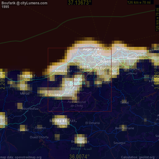
» NASA, Earths city lights 1995
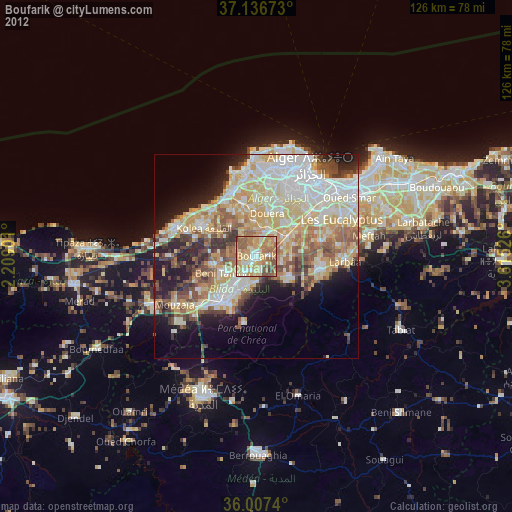
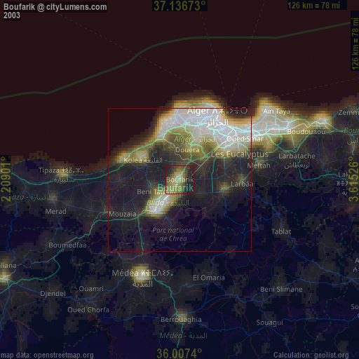
» NASA city lights 2003
» Earth at Night: Flat Maps 2012, 2016