Aïn Beni Mathar night lights from space
Night Light of Aïn Beni Mathar (Oriental) from space (Morocco) Src. Average luminocity for 10x10km area is 5.465% and for 50x50km: 0.3033%.
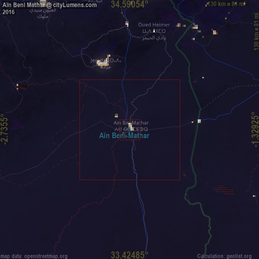
Analysis of Aïn Beni Mathar night lights 2016
Square area 10x10 km:
 0.35%
0.35%90-99
0.87%80-89
0.87%70-79
1.22%60-69
0.87%50-59
0%40-49
1.4%30-39
0.52%20-29
1.4%10-19
0.17%0-9
92.31%Square area 50x50 km:
0.01%90-99
0.04%80-89
0.09%70-79
0.05%60-69
0.04%50-59
0%40-49
0.06%30-39
0.05%20-29
0.09%10-19
0.01%0-9
99.57%Clear (daylight) street map image can be seen on geolist.org.
Map coordinates:
34° 35' 25.9" North, 2° 44' 7.8" West
34° 0' 34.9" North, 2° 1' 56.6" West
33° 25' 29.5" North, 1° 19' 45.3" West
Some cities around Aïn Beni Mathar sort by population:
• Oujda-Angad
75.5 km =46.9 mi,  8°
8°
• Taourirt
91 km =56.5 mi,  299°
299°
• Berkane
104.6 km =65 mi,  345°
345°
• Jerada
35.4 km =22 mi,  340°
340°
• Sebdou, DZ
94.9 km =59 mi,  42°
42°
• El Aïoun
77.2 km =48 mi,  325°
325°
• Beni Mester, DZ
110.8 km =68.8 mi,  30°
30°
• Ahfir
105.1 km =65.3 mi,  356°
356°
2560922 (p: 16,289)
Sources (retrieved 2019-11-25):
» Earth at Night: Flat Maps 2012, 2016